Andasibe | |
|---|---|
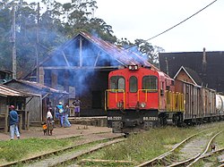 Andasibe station | |
 Interactive map of Andasibe | |
| Coordinates: 18°56′S48°25′E / 18.933°S 48.417°E | |
| Country | |
| Region | Alaotra-Mangoro |
| District | Moramanga |
| Area | |
• Total | 363 km2 (140 sq mi) |
| Elevation | 810–1,200 m (2,660–3,940 ft) |
| Population (2006) [1] | |
• Total | 13,493 |
| Time zone | UTC3 (EAT) |
Andasibe (also Andasibe Gara) is a rural municipality in Madagascar. It belongs to the district of Moramanga, which is a part of Alaotra-Mangoro Region. In 2006, the commune's population was estimated at 13,493.
