| Annangrove Sydney, New South Wales | |||||||||||||||
|---|---|---|---|---|---|---|---|---|---|---|---|---|---|---|---|
  Annangrove | |||||||||||||||
 | |||||||||||||||
| Coordinates | 33°39′09″S150°56′27″E / 33.65255°S 150.94096°E | ||||||||||||||
| Population | 1,472 (SAL 2021) [1] | ||||||||||||||
| Postcode(s) | 2156 | ||||||||||||||
| Elevation | 86 m (282 ft) | ||||||||||||||
| Location | 42 km (26 mi) north-west of Sydney CBD | ||||||||||||||
| LGA(s) | The Hills Shire | ||||||||||||||
| State electorate(s) | Castle Hill | ||||||||||||||
| Federal division(s) | Mitchell | ||||||||||||||
| |||||||||||||||
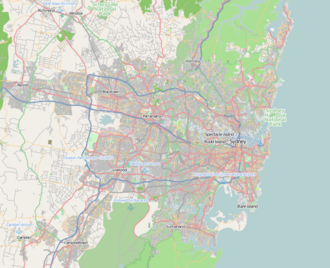
Annangrove is a suburb of Sydney, in the state of New South Wales, Australia 42 kilometres north-west of the Sydney central business district in the local government area of The Hills Shire and part of the Hills District region. [2]

