Zoutleeuw is a municipality and city in the Hageland, in the extreme east of the Belgian province of Flemish Brabant. On 1 January 2018 the municipality had 8,498 inhabitants. The total area is 46.73 km2, giving a population density of 182 inhabitants per km2.

Erquelinnes is a municipality of Wallonia located in the province of Hainaut, Belgium.

Mont-Saint-Guibert is a municipality of Wallonia located in the Belgian province of Walloon Brabant. On January 1, 2012, Mont-Saint-Guibert had a total population of 7000. The total area is 18.63 km2 (7.19 sq mi) which gives a population density of 344 inhabitants per square kilometre (890/sq mi).

Perwez is a municipality of Wallonia located in the Belgian province of Walloon Brabant.
Fosses-la-Ville is a city and municipality of Wallonia located in the province of Namur, Belgium.

Profondeville is a municipality of Wallonia located in the province of Namur, Belgium.

Florennes is a municipality of Wallonia located in the province of Namur, Belgium. As of 1 January 2006, Florennes has a total population of 10,754. The total area is 133.55 km2 which gives a population density of 81 inhabitants per km2.

Héron is a municipality of Wallonia located in the province of Liège, Belgium.

Bassenge is a municipality of Wallonia located in the province of liège, Belgium.

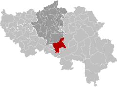
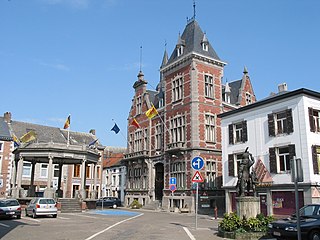
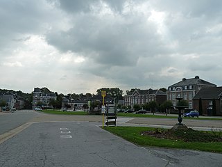
Blegny is a municipality of Wallonia located in the Province of Liège, Belgium.

Sprimont is a municipality of Wallonia located in the province of Liège, Belgium.
Plombières official until 1919 Bleyberg is a municipality of Wallonia located in the province of Liège, Belgium.

Faimes is a municipality of Wallonia located in the province of Liège, Belgium.

Paliseul is a municipality of Wallonia located in the province of Luxembourg, Belgium.
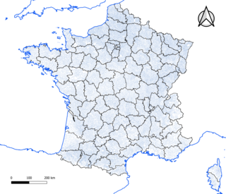
The commune is a level of administrative division in the French Republic. French communes are analogous to civil townships and incorporated municipalities in the United States and Canada, Gemeinden in Germany, comuni in Italy, or municipios in Spain. The UK equivalent are civil parishes. Communes are based on historical geographic communities or villages and are vested with significant powers to manage the populations and land of the geographic area covered. The communes are the fourth-level administrative divisions of France.
Corippo is a village and former municipality in the district of Locarno in the canton of Ticino in Switzerland.

Anaa, Nganaa-nui is an atoll in the Tuamotu archipelago, in French Polynesia. It is located in the north-west of the archipelago, 350 km to the east of Tahiti. It is oval in shape, 29.5 km in length and 6.5 km wide, with a total land area of 38 km2 and a population of 504. The atoll is made up by eleven small barren islands with deeper and more fertile soil than other atolls in the Tuamotus. The lagoon is shallow, without entrance, and formed by three main basins. Although it does not have any navigable access, the water of the lagoon renews by several small channels that can be crossed walking.

Apinac is a village and commune in the Loire department in central France. Apinac is in the extreme southwest of the Loire department, 41.7 kilometres (25.9 mi) southwest of Saint-Étienne.

Baldushk is a village and a former municipality in the Tirana County, central Albania. At the 2015 local government reform, it became a subdivision of the municipality Tirana. The population at the 2011 census was 4,576. It is located 15 km south-west of the city of Tirana. Baldushk Administrative Unit is bordered to the north by the villages of Vishaj and Arbanë of the Vaqarr Administrative Unit, to the east by the village of Lugë-Shalqizë of the Bërzhitė Administrative Unit and the villages of Durisht and Petrelë of the Petrelë Administrative Unit, to the south by the village of Pajovë of the Pajovë Administrative Unit of Peqin District, and to the west by the villages of Çaush, Dorëz, Grecë and Gror of the Peze Administrative Unit and the District of Kavaja.
Nonceveux is a village of Wallonia in the municipality of Aywaille, district of Sougné-Remouchamps, located in the province of Liège, Belgium.