Barview | |
|---|---|
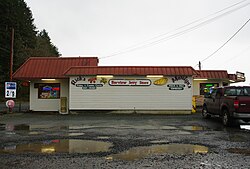 Store in Barview | |
 Barview Location within the state of Oregon  Barview Barview (the United States) | |
| Coordinates: 45°34′11″N123°56′36″W / 45.56972°N 123.94333°W | |
| Country | United States |
| State | Oregon |
| County | Tillamook |
| Elevation | 23 ft (7 m) |
| Time zone | UTC-8 (Pacific (PST)) |
| • Summer (DST) | UTC-7 (PDT) |
| ZIP codes | 97136 |
| Area codes | 503 and 971 |
| GNIS feature ID | 1166612 [1] |
Barview is an unincorporated community in Tillamook County, Oregon, United States, named in 1884 by L. C. Smith for its exceptional view of the bar at the entrance to Tillamook Bay. [2]
