Kranenburg is a municipality in the district Stade, Lower Saxony, Germany, lying on the river Oste. It consists of the villages Kranenburg and Brobergen and is part of the Samtgemeinde Oldendorf-Himmelpforten. It has a population of 772 as at December 31, 2003, of which 546 in Kranenburg and 226 in Brobergen.

Oldendorf is a municipality in the district of Stade, in Lower Saxony, Germany. It is situated west of Hamburg. Oldendorf has a population of approx. 3,000. Oldendorf was the seat of the former Samtgemeinde Oldendorf.
Elmlohe is a village and a former municipality in the district of Cuxhaven, in Lower Saxony, Germany. Since 1 January 2015 it is part of the town Geestland. It was a component municipality of the former Samtgemeinde Bederkesa.

Schiffdorf is a municipality in the district of Cuxhaven, in Lower Saxony, Germany. It is situated at the eastern boundary of the Bremian city of Bremerhaven, and 35 kilometers south of Cuxhaven.

Bad Bederkesa is a village and a former municipality in the district of Cuxhaven, in Lower Saxony, Germany. Since 1 January 2015 it is part of the town of Geestland. It is situated approximately 20 km northeast of Bremerhaven, and 30 km southeast of Cuxhaven. Bad Bederkesa was the seat of the former Samtgemeinde Bederkesa, an administrative division consisting of several component municipalities.

Hagen im Bremischen is a municipality in the district of Cuxhaven, in Lower Saxony, Germany. It is situated approximately 20 km south of Bremerhaven, and 35 km northwest of Bremen. Hagen was the seat of the former Samtgemeinde Hagen.

Hemmoor is a small town in the district of Cuxhaven, in Lower Saxony, Germany. It is situated near the river Oste, approx. 40 km northeast of Bremerhaven, and 25 km south of Brunsbüttel.

Tarmstedt is a municipality in the district of Rotenburg in Lower Saxony, Germany. It is situated approximately 25 km northwest of Rotenburg, and 25 km northeast of Bremen.

Sandbostel is a municipality in Lower Saxony (Niedersachsen) in northwestern Germany, 43 km north-east of Bremen, 60 km west of Hamburg. It is part of the Samtgemeinde Selsingen. In 2024, it had 799 inhabitants. The Oste flows through the municipality.

Alfstedt is a municipality in the district of Rotenburg, in Lower Saxony, Germany.

Anderlingen is a municipality in the district of Rotenburg, in Lower Saxony, Germany.

Breddorf is a municipality in the district of Rotenburg, in Lower Saxony, Germany.

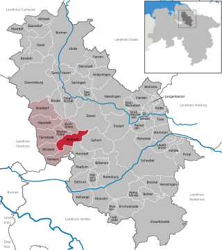
Bülstedt is a municipality in the district of Rotenburg, in Lower Saxony, Germany.

Deinstedt is a municipality in the district of Rotenburg, in Lower Saxony, Germany.

Hamersen is a municipality in the district of Rotenburg, in Lower Saxony, Germany.

Hepstedt is a municipality in the district of Rotenburg, in Lower Saxony, Germany.

Kirchtimke is a municipality in the district of Rotenburg, in Lower Saxony, Germany.

Lengenbostel is a municipality in the district of Rotenburg, in Lower Saxony, Germany.

Oerel is a municipality in the district of Rotenburg, in Lower Saxony, Germany.

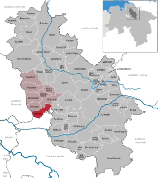
Vorwerk is a municipality in the district of Rotenburg, in Lower Saxony, Germany.


