Benson, Louisiana | |
|---|---|
 Benson, Louisiana  Benson, Louisiana | |
| Coordinates: 31°51′59″N93°41′38″W / 31.86639°N 93.69389°W | |
| Country | United States |
| State | Louisiana |
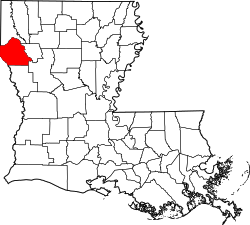
| Parish | DeSoto |
| Elevation | 256 ft (78 m) |
| Time zone | UTC-6 (Central (CST)) |
| • Summer (DST) | UTC-5 (CDT) |
| Area code | 318 |
| GNIS feature ID | 542982 [1] |
Benson is an unincorporated community in DeSoto Parish, Louisiana, United States. [1] [2]
Located approximately halfway between Mansfield and Converse on the Kansas City Southern Railroad, it is an historic sawmill town. [3]