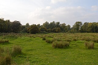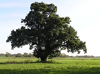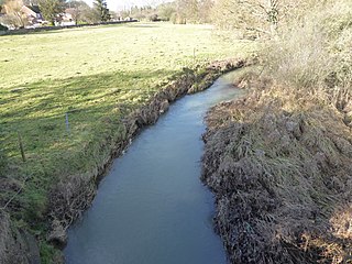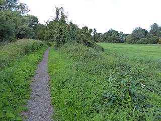
The Watermead Country Park is a network of artificial lakes in the valley of the River Soar and the old Grand Union Canal, in and to the north of Leicester and in and to the south of the Borough of Charnwood in Leicestershire. The southern part of the park, which includes the Hill and the Mammoth is located in Rushey Mead. It runs north to south along the path of the watercourses, with Birstall to the west and Thurmaston to the east. The parks provide bird watching, fishing and watersports facilities, and are managed by a partnership of Leicestershire County Council, Leicester City Council and Charnwood Borough Council.

Aylestone Meadows is an 8.8-hectare (22-acre) Local Nature Reserve in Leicester, England, United Kingdom. It is owned and managed by Leicester City Council.

Stotfold Mill Meadows is a 3.4 hectare Local Nature Reserve (LNR) in Stotfold in Bedfordshire. It was declared an LNR by Central Bedfordshire Council in 2010, and is managed by the Stotfold Mill Preservation Trust, which also runs the neighbouring Stotfold Watermill.

Henlow Common and Langford Meadows is a 18.4-hectare (45-acre) Local Nature Reserve on the west side of the River Ivel in Langford. It is owned and managed by Central Bedfordshire Council. Henlow Common is common land.

Fenlake Meadows is a 19.2 hectare Local Nature Reserve located in the Kingsbrook area of Bedford. It is owned and managed by Bedford Borough Council.

The Boardwalks is a 7.8 hectare Local Nature Reserve in Peterborough in Cambridgeshire. It is owned and managed by Peterborough City Council.

Mill Crook is a 5.9-hectare (15-acre) biological Site of Special Scientific Interest east of Towcester in Northamptonshire. Mill Crook and Grafton Regis Meadow are a 7.9-hectare (20-acre) nature reserve managed by the Wildlife Trust for Bedfordshire, Cambridgeshire and Northamptonshire.

River Ise and Meadows is a 13.5-hectare (33-acre) biological Site of Special Scientific Interest along the River Ise in Northamptonshire between Geddington and the Kettering to Corby railway line east of Rushton.

Barford Wood and Meadows or Barford Meadow Nature Reserve is a 36 hectare nature reserve east of Rushton in Northamptonshire. It is managed by the Wildlife Trust for Bedfordshire, Cambridgeshire and Northamptonshire. The north-eastern end is part of the River Ise and Meadows Site of Special Scientific Interest.

Storton's Pits is a 21.9 hectare Local Nature Reserve in Northampton. It is managed by the Wildlife Trust for Bedfordshire, Cambridgeshire and Northamptonshire.

Hosehill Lake is a 23.6-hectare (58-acre) Local Nature Reserve west of Reading in Berkshire. It is owned by West Berkshire Council and managed by the Berkshire, Buckinghamshire and Oxfordshire Wildlife Trust.

Barnes Meadow is a 29.4 hectare Local Nature Reserve in Northampton. An area of 20 hectares is managed by the Wildlife Trust for Bedfordshire, Cambridgeshire and Northamptonshire.

The Pennings is a 2.7 hectare Local Nature Reserve in Eye in Suffolk. It is owned and managed by Mid Suffolk District Council.

Bramford Meadows is a nine hectare Local Nature Reserve in Bramford, on the western outskirts of Ipswich in Suffolk. It is owned by Bramford Parish Council and managed by Bramford Openspaces Ltd.

Bishop's Meadow is a 21.8 hectare Local Nature Reserve on the northern outskirts of Loughborough in Leicestershire. It is owned and managed by Charnwood Borough Council.

Goss Meadows is a 2.8 hectares Local Nature Reserve on the north-western outskirts of Leicester. It is owned and managed by Leicester City Council.

Mountsorrel Meadows is a 12.6-hectare (31-acre) nature reserve on the eastern outskirts of Mountsorrel in Leicestershire. It is purchased by the Leicestershire and Rutland Wildlife Trust in 2004.


