Blaine Township | |
|---|---|
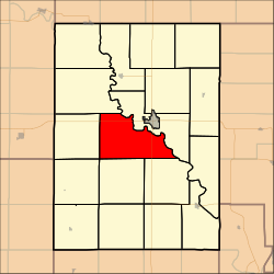 Location in Clay County | |
| Coordinates: 39°21′50″N097°11′01″W / 39.36389°N 97.18361°W | |
| Country | United States |
| State | Kansas |
| County | Clay |
| Area | |
• Total | 42.31 sq mi (109.59 km2) |
| • Land | 41.92 sq mi (108.56 km2) |
| • Water | 0.4 sq mi (1.03 km2) 0.94% |
| Elevation | 1,204 ft (367 m) |
| Population (2000) | |
• Total | 259 |
| • Density | 6.2/sq mi (2.4/km2) |
| GNIS feature ID | 0476018 |
Blaine Township is a township in Clay County, Kansas, United States. As of the 2000 census, its population was 259.
