Bloom Township | |
|---|---|
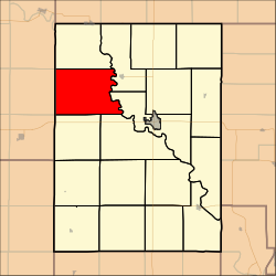 Location in Clay County | |
| Coordinates: 39°26′30″N097°18′01″W / 39.44167°N 97.30028°W | |
| Country | United States |
| State | Kansas |
| County | Clay |
| Area | |
• Total | 47.46 sq mi (122.92 km2) |
| • Land | 47.21 sq mi (122.27 km2) |
| • Water | 0.25 sq mi (0.66 km2) 0.54% |
| Elevation | 1,299 ft (396 m) |
| Population (2000) | |
• Total | 125 |
| • Density | 2.6/sq mi (1/km2) |
| GNIS feature ID | 0476012 |
Bloom Township is a township in Clay County, Kansas, United States. At the 2000 census, its population was 125.
