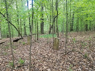
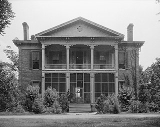
McLaurin is a small unincorporated community in Forrest County, Mississippi, United States.

Plymouth was an early settlement in Mississippi in present-day Lowndes County. Plymouth was located on the west bank of the Tombigbee River at the mouth of Tibbee Creek.

Wayside is an unincorporated community in Washington County, Mississippi, United States.

Brier Creek or Briar Creek is a 123-mile-long (198 km) tributary of the Savannah River in the U.S. state of Georgia. It rises in Warren County east of Camak and flows southeast to the Savannah River in Screven County, 12 miles (19 km) east of Sylvania.

Ben Lomond is a ghost town in Issaquena County, Mississippi, United States.
Chotard is an unincorporated community in Issaquena County, Mississippi, United States.
Eutaw is a ghost town in Bolivar County, Mississippi, United States. The settlement had a port on the Mississippi River called "Eutaw Landing."
Duncansby is a ghost town in Issaquena County, Mississippi, United States.
Gum Ridge is a ghost town in Jefferson County, Mississippi.
Kienstra is a ghost town located in Adams County, Mississippi, United States. South of the town was Kienstra Landing, located on the Mississippi River.
Artonish is a ghost town located in Wilkinson County, Mississippi, United States. South of the town was Artonish Landing, located on a stretch of the Mississippi River known as the "Homochitto Cutoff".
Australia is a former town located in Bolivar County, Mississippi, United States. Australia was located on the Mississippi River.

Shiloh is a ghost town located in Issaquena County, Mississippi, United States. Shiloh Landing was its port on the Mississippi River.
Liverpool is a ghost town in Yazoo County, Mississippi, United States. Liverpool Landing, the settlement's port on the Yazoo River, was located 0.9 mi (1.4 km) west of Liverpool.
Leota is a ghost town located in Washington County, Mississippi, United States. The settlement, along with its river port Leota Landing, were at one time located directly on the Mississippi River.
Refuge is an unincorporated community located in Washington County, Mississippi, United States.
Sunflower Landing is an unincorporated community in Coahoma County, Mississippi, United States.
Huntington is a ghost town in Bolivar County, Mississippi, United States.
Riverton is a ghost town in Bolivar County, Mississippi, United States.
Pushmataha Landing, also known as Pushmataha, is an unincorporated community located in Coahoma County, Mississippi, United States.


