External links
Municipalities and communities of Garland County, Arkansas, United States | ||
|---|---|---|
| Cities | 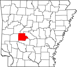 | |
| Towns | ||
| CDPs | ||
| Townships | ||
| Other unincorporated communities | ||
| Footnotes | ‡This populated place also has portions in an adjacent county or counties | |
34°37′N93°21′W / 34.617°N 93.350°W
| | This article about a location in Garland County, Arkansas is a stub. You can help Wikipedia by expanding it. |