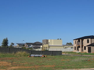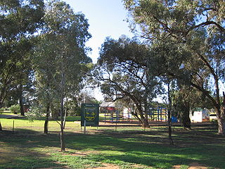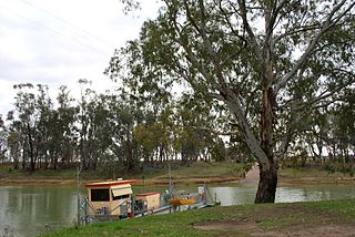
Red Hill South is a rural locality and township on the Mornington Peninsula in Melbourne, Victoria, Australia, approximately 64 km (40 mi) south-east of Melbourne's Central Business District, located within the Shire of Mornington Peninsula local government area. Red Hill South recorded a population of 708 at the 2021 census.

The Town of Victoria Park is a local government area of Western Australia. It covers an area of 17.62 km² in metropolitan Perth, the capital of Western Australia. It had a population of approximately 35,000 as at the 2016 Census.

Neerim is a locality in Victoria, Australia, on Main Neerim Road in the Shire of Baw Baw.

Widgelli is a small village located in the local government area of the City of Griffith in the Australian state of New South Wales.

Bundalong is a town in Victoria, Australia located on the Murray River and the Murray Valley Highway, east of Yarrawonga. At the 2016 census, Bundalong had a population of 428. Bundalong is in the Shire of Moira local government area, with the name "Bundalong" being the Aboriginal word for "joined together". The towns farming sites include wheat plantations.

Pretty Pine is a community in the central part of the Riverina and situated about 17 kilometres south of Wanganella and 18 kilometres north west of Deniliquin.

Bungowannah is a locality in the Riverina region of New South Wales, Australia. The locality is on the Riverina Highway, about 16 kilometres (9.9 mi) north west of Albury and 8 kilometres (5.0 mi) south east of Howlong.

Caldwell is an Australian village community in the Deniboota Irrigation Area in the central south part of the Riverina and situated about 45 kilometres (28 mi) west from Deniliquin, New South Wales and 10 kilometres (6.2 mi) north west from Tantonan.

Gidginbung is a town community in the north eastern part of the Riverina and situated about 18 kilometres north west of Temora and 50 kilometres south east of West Wyalong.

Eurongilly is a locality in the central part of the Riverina and situated about 19 kilometres north west of Nangus and 21 kilometres south east of Junee.

Harefield is a locality in New South Wales, Australia. It in the central east part of the Riverina and situated about 11 kilometres south of Junee and 35 kilometres north by road from Wagga Wagga.

Talmalmo is an Australian community in the south east part of the Riverina very close to the border with Victoria. It is situated by road, about 21 kilometres west of Jingellic and 23 kilometres south west of Wymah.

Tantonan is a rural locality in the central south part of the Riverina, New South Wales, Australia. It is situated by road, about 8 kilometres north west from Caldwell and 13 kilometres south east from Bunnaloo.
Stony Crossing is a locality in the south western part of the Riverina on the south bank of the Wakool River. By road, it is about 22 kilometres (14 mi) south east from Kyalite and 35 kilometres (22 mi) north west from Swan Hill.

Corobimilla is a village locality in the central east part of the Riverina. It is situated by road, about 12 kilometres northeast of Morundah and 20 kilometres south west of Narrandera.
Marinna is a locality in Junee Shire in southern New South Wales, Australia. Its main feature is a grain silo on the Main South railway line. A station was opened in the locality between 1897 and 1975.

Speewa is a rural locality in the Riverina District of New South Wales, Australia near the Murray River in Murray River Council local government area.
The Range is a rural locality, south of Adelaide, South Australia. The Range Post Office opened on 1 June 1947 and closed in 1962.
Wilkur is a locality in the Mount Jeffcot ward of the local government area of the Shire of Buloke and the Warracknabeal ward of the Shire of Yarriambiack, Victoria, Australia. Wilkur post office there opened in 1905, closed on 30 September 1912 reopened on 1 February 1926 and later closed on 27 May 1950. Wilkur South post office opened on 28 June 1920 and was closed on 31 July 1957. Cameron's post office opened on 1 October 1904 renamed Beyal in April 1911 and was closed on 31 August 1929.
Whites Flat is a rural locality in the Eyre and Western region of South Australia, situated within the District Council of Lower Eyre Peninsula. The boundaries for the locality were formally established in October 2003 for the long established local name; this had originally been named after pastoralist Samuel White.


