
Cleobury Mortimer is a market town and civil parish in south-east Shropshire, England, which had a population of 3,036 at the 2011 census. It was granted a market charter by King Henry III in 1226.

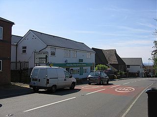
Craven Arms is a market town and civil parish in Shropshire, England. It is sited on the A49 road and the Welsh Marches railway line, which link it north and south to the larger towns of Shrewsbury and Ludlow respectively. The town is enclosed to the north by the Shropshire Hills Area of Outstanding Natural Beauty and to the south is the fortified manor house of Stokesay Castle.

Clungunford is a village and civil parish in south Shropshire, England, located near the border with Herefordshire.

Hartford is a suburb of Huntingdon and former civil parish, now in the parish of Huntingdon, in Cambridgeshire, England. Historically part of Huntingdonshire, it is not far west of Wyton. It lies on the A141 road and on the north bank of the River Great Ouse, upon which it has a significant marina. The village is not to be confused with the much larger town of Hertford, some 38 miles (61 km) to the south-east. In 1931 the parish had a population of 464. On 1 April 1935 the parish was abolished and merged with Huntingdon, part also went to Houghton and Wyton and Kings Ripton.
Cleehill is a village in south Shropshire, England. It is sometimes written as Clee Hill Village to avoid confusion. It lies in the civil parish of Caynham. The market towns of Ludlow and Cleobury Mortimer are both 5.5 miles (8.9 km) distant, Ludlow to the west and Cleobury to the east.

The A4117 is a single-carriageway 'A road' in western England, largely in Shropshire, which passes through part of the Wyre Forest and Clee Hills.

Stokesay is a village and former civil parish, now in the parish of Craven Arms, in the Shropshire district, in the ceremonial county of Shropshire, England. It is just south of Craven Arms on the A49 road, also fleetingly visible from the Shrewsbury to Hereford Welsh Marches railway line. In 1961 the parish had a population of 1217.
Catworth is a village and civil parish in Cambridgeshire, England. Catworth lies approximately 9 miles (14 km) west of Huntingdon. The civil parish covers an area of 3,094 acres. Catworth village has two parts, Catworth, at the top of the hill, and Little Catworth, at the bottom. Catworth is situated within Huntingdonshire which is a non-metropolitan district of Cambridgeshire as well as being a historic county of England.

Glatton is a village and civil parish in Cambridgeshire, England, some 8 miles (13 km) south-west of Peterborough, near the villages of Conington, Yaxley and Stilton. It lies in the non-metropolitan district of Huntingdonshire, which is part of Cambridgeshire as well as being a historic county. A World War II airfield built nearby is now known as Peterborough's Conington Airport.
Elton is a village and civil parish in Cambridgeshire, England. Elton lies approximately 7 miles (11 km) south-west of Peterborough. Elton is situated within Huntingdonshire which is a non-metropolitan district of Cambridgeshire as well as being a historic county of England. Elton is a small village within the historic boundaries of Huntingdonshire, England. It lies on the B671 road. Elton Hall and the hamlet of Over End are located on the same road a mile south of the village.
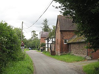
Ashford Bowdler is a small village and civil parish in south Shropshire, England, near the county border with Herefordshire.

Ashford Carbonell is a village and civil parish in south Shropshire, England, near the county border with Herefordshire.

Aston Botterell is a village and small civil parish in the county of Shropshire, West Midlands, England. The village lies 8 miles (13 km) south-west of the market town of Bridgnorth and 10 miles (16 km) north-east of the town of Ludlow. The nearest main roads are the B4364 and the A4117. According to the 2001 census, the civil parish had a population of 74. The area's economy is still largely based on agriculture, though many residents travel up to 12 miles (19 km) to work in other sectors such as the service and manufacturing industries.

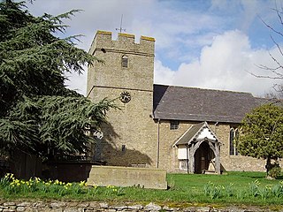
Bromfield is a village and civil parish in Shropshire, England.
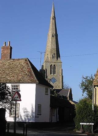
Ludford is a small village and civil parish in south Shropshire, England. The parish is situated adjacent to the market town of Ludlow and was, until 1895, partly in Herefordshire.

Sheet is a small modern village in the parish of Ludford about 1 mile (1.6 km) from the town centre of Ludlow, Shropshire.

Rushbury is a village and civil parish in Shropshire, roughly five miles from Church Stretton and eight miles from Much Wenlock.
Onibury is a village and civil parish on the River Onny in southern Shropshire, about 4 miles (6.4 km) northwest of the market town of Ludlow.

Richard's Castle is a village, castle and two civil parishes on the border of the counties of Herefordshire and Shropshire in England. The Herefordshire part of the parish had a population of 250 at the 2011 Census, the Shropshire part, 424.

Milwich is a village and a civil parish in the English county of Staffordshire.

