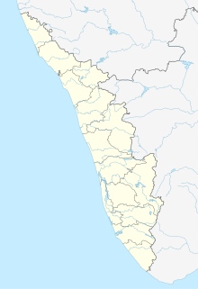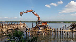
Kanhirode is a census town in Kannur district of Kerala state, India. Kanhirode is located 13 km east of Kannur city on Kannur-Mattanur road.

Peermade, also spelt Peerumedu is a village, Grama Panchayat and hill station in the state of Kerala, India. It lies 915 metres (3,002 ft) above sea level in the Western Ghats (Sahyadri) about 85 kilometres (53 mi) east of Kottayam on the way to Thekkady through the nearby city of Kanjirappally.

Devikulam is a Grama Panchayat and small hill station of about 8 kilometres (5.0 mi) from Munnar in the Idukki District of Kerala State, India. It lies 1,800 metres (5,900 ft) above sea level.

Koodali is a census town in Thalassery taluk of Kannur district in Kerala state, India. Koodali is located 15.5 km east of Kannur city on Kannur-Mattanur road.

Kumily also spelt as Kumaly is a revenue village and Gram Panchayat in the Idukki district of Kerala. It is a town in Cardamom Hills near Thekkady and Periyar Tiger Reserve. Kumily is gateway town into Kerala from Tamil Nadu.

Ayyappancoil, also spelt Ayyappankovil is a village in newly formed Idukki taluk in Idukki district in the Indian state of Kerala. It is highly noted for the newly constructed suspension bridge with a length of 200 meters and the old historic Sastha temple on the banks of Periyar river.

Chathurangapara is a village in Idukki district in the Indian state of Kerala. The village is part of Udumbanchola and Senapathy Panchayats.

Karunapuram is a village in Idukki district in the Indian state of Kerala.

Konnathady is a gram panchayat village in Idukki district in the Indian state of Kerala. It is situated 14 km south of National Highway 49, just south of the Mullayar River.

Mankulam is a village in Idukki district in the Indian state of Kerala. This is the first Grama Panchayat in Kerala which produces electricity their own and sell it to the Electricity board of Kerala.

Rajakkad is a town in the Idukki district in the Indian state of Kerala situated in the Western Ghats.

Cheleri is a census town in Kannur district in the Indian state of Kerala.

Kanichar is a village and Grama Panchayat in Kannur district in the Indian state of Kerala.

Kooveri is a village in Chapparapadavu Grama Panchayat of Kannur district in the Indian state of Kerala.

Kurumathur is a census town in Taliparamba taluk of Kannur district in Kerala state, India. Kurumathur is located 8 km east of Taliparamba town in SH 36.

Kuttiattoor is a census town in Taliparamba taluk of Kannur district in the Indian state of Kerala. Kuttiattoor is located 26.5 km north east of District headquarters Kannur and 6.5 km south east of Mayyil.

Purathur is a beautiful sandy coastal village and a Grama Panchayat in Tirur Taluk, Malappuram district in the state of Kerala, India. Bharathappuzha river and Tirur River merges together in Purathur and join with the Arabian Sea at Padinjarekara Azhimukham, which is also the southernmost tip of Purathur Gram panchayat. Opposite to Padinjarekara Azhimukham is Ponnani port. The village is located at the southernmost tip of Tirur Taluk and is bordered by historically important Ponnani port in Ponnani Municipality of Ponnani taluk to south.

Kolachery is a census town and Grama Panchayat in Kannur District of Kerala state, India. Kolachery is located 15 kilometres (9.3 mi) north east of Kannur city.

Kunnothuparamba is a Grama Panchayat in Kannur district of Kerala state, India. Kunnothuparamba Panchayat has administration over Kolavelloor census town and Puthoor village.

Kanjikuzhi is a census town and Panchayat in Alappuzha district of Kerala State, India. Kanjikuzhi is located 16 km (9.9 mi) north of District headquarters Alappuzha and 7 km (4.3 mi) south of Cherthala.


