Chin Hills

Last updated

Chin Hills
Myanmar location map.svg
Red triangle with thick white border.svg
Chin Hills
Location in Myanmar
Highest point
Peak Nat Ma Taung
Elevation 3,053 m (10,016 ft)
Coordinates 22°30′N93°30′E / 22.500°N 93.500°E / 22.500; 93.500
Geography
Location Chin State, Burma
Parent range Patkai Range

The Chin Hills [1] are a range of mountains in Chin State, northwestern Burma (Myanmar), that extends northward into India's Manipur state. [2]

Contents

Geography

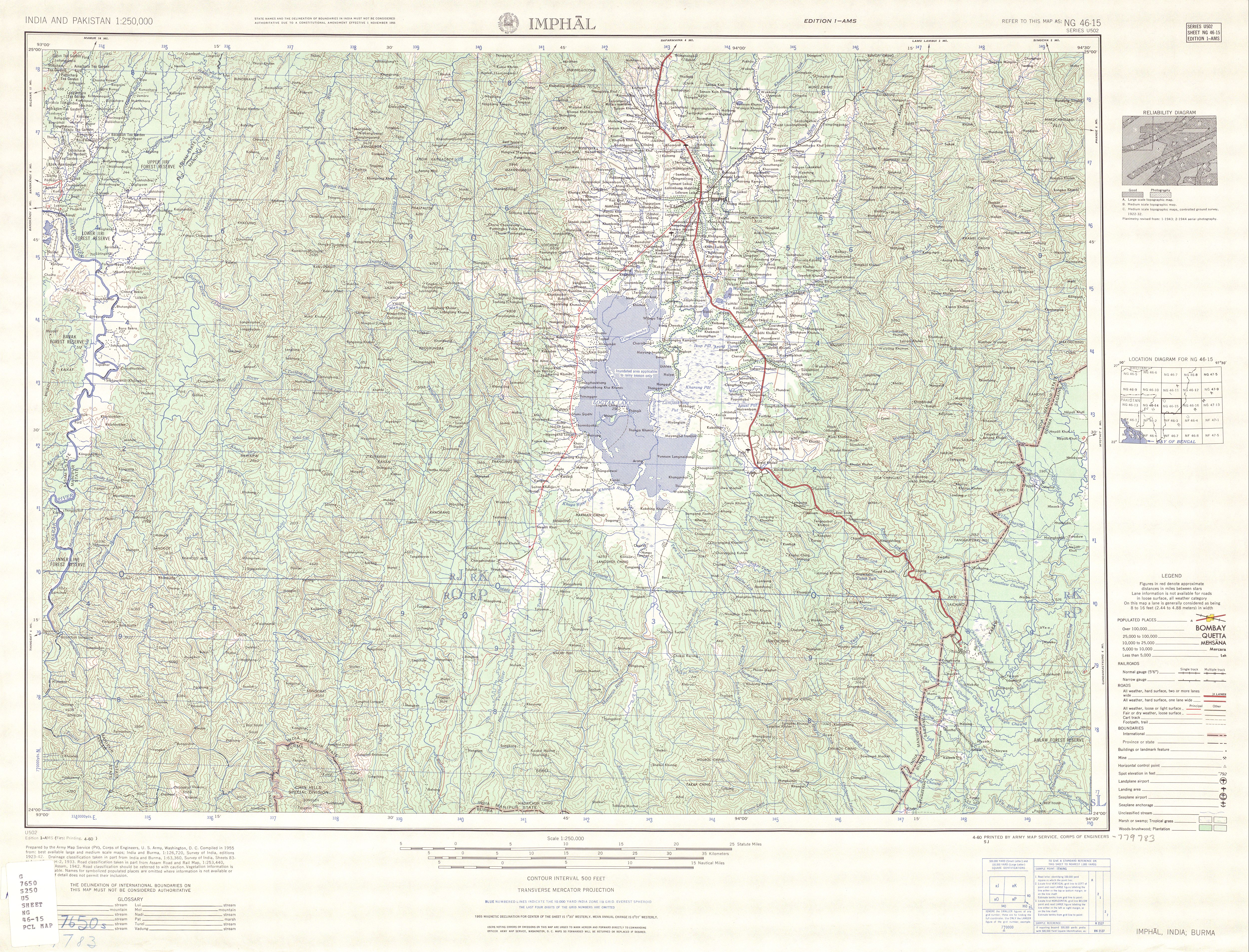
The highest peak in the Chin Hills is Khonu Msung, or Mount Victoria, in southern Chin State, which reaches 3,053 metres (10,016 ft). The Chin Hills–Arakan Yoma montane forests ecoregion has diverse forests with pine, camellia and teak. Falam is the largest town in the Chin Hills, lying at their southern edge.

The Chin Hills are the eastern part of the Patkai Range, which includes the Lushai Hills and runs through Nagaland in India, as well as part of Burma. The Lushai Hills are frequently discussed with the Chin Hills as the topography, people's culture and history are similar. The southern prolongation of the Chin Hills is the Arakan Range (Arakan Yoma), stretching as well from north to south.

History

Historically the area of the range has been populated by the Chin people who like their neighbours to the west are a Laimi people. In addition to subsistence agriculture the Chin raided the villages of the Burman on the plains of the Myittha and Chindwin rivers, as well as each other. [3] In 1888, the British began a military campaign to end these raids which resulted in pacification of the province by 1896, [3] and it was administratively added to Burma as a special division.

In the Second World War the hills formed a point of armed conflict between Japanese forces and a combined British and Indian force. [4]

See also

Notes

  1. "Chin Hills (Approved)" Chin Hills at GEOnet Names Server, United States National Geospatial-Intelligence Agency
  2. "1:250,000 topographic map, Series U502, Imphal, India, NG 46-15" U.S. Army Map Service, April 1960; "1:250,000 topographic map, Series U542, Mawlaik, Burma; India, NF 46-3" U.S. Army Map Service, March 1960; and "1:250,000 topographic map, Series U542, Gangaw, Burma, NF 46-7" U.S. Army Map Service, April 1958
  3. 1 2 Ireland, Alleyne (1907) The province of Burma: a report prepared on behalf of the University of Chicago Houghton-Mifflin, Boston, Massachusetts, volume 2, page 790, OCLC   1889867
  4. "Archived copy" (PDF). Archived from the original (PDF) on 4 August 2016. Retrieved 10 June 2016.{{cite web}}: CS1 maint: archived copy as title (link)


Related Research Articles

<span class="mw-page-title-main">Phawngpui</span> Mountain peak in Mizoram, India

Phawngpui, also known as Blue Mountain, is the highest mountain peak in the Mizo Hills and in the state of Mizoram, India, with an elevation of 2157 m. It is in Lawngtlai district, in the southeastern region of Mizoram near the Myanmar border.

<span class="mw-page-title-main">Arakan Mountains</span> Mountain range in western bramedesh

The Arakan Mountains, natively referred as Rakhine Yoma and technically known as the Southern Indo-Burman Range, are a mountain range in western Myanmar, between the coast of Rakhine State and the Central Myanmar Basin, in which flows the Irrawaddy River. It is the most prominent of a series of parallel ridges that arc through Assam, Nagaland, Manipur, Mizoram and Myanmar.

Thayet is a capital city in Thayet District of Magway Region in central Myanmar. It is a port on the right (western) bank of the Irrawaddy River, across and just south of Allanmyo, between Pyay (Prome) and Magway. Thayet is the administrative seat of both Thayet District and Thayet Township. As of 2014, the population was 20,251 in the city proper.

<span class="mw-page-title-main">Chin Hills–Arakan Yoma montane forests</span> Ecoregion in Myanmar

The Chin Hills-Arakan Yoma montane forests is a tropical and subtropical moist broadleaf forest ecoregion in western Myanmar (Burma). Surrounded at lower elevations by moist tropical forests, this ecoregion is home a diverse range of subtropical and temperate species, including many species characteristic of the Himalayas, as well as many endemic species.

<span class="mw-page-title-main">Kaladan River</span> River in Myanmar, India

The Kaladan or Kissapanadi River, also known as the Beino, Bawinu and Kolodyne, is a river in eastern Mizoram State of India, and in Chin State and Rakhine State of western Myanmar. The Kaladan River is called the Chhimtuipui River in India. It forms the international border between India and Burma between 22° 47′ 10" N and 22° 11′ 06" N.

Abeuk is a village in Ann Township in the Rakhine State of western Burma. It is located approximately 120 kilometres east of Sittwe. It lies in the Arakan Roma mountain range.

<span class="mw-page-title-main">Falam Township</span> Township in Chin State, Burma

Falam Township is a township of Falam District in the Chin State of Burma (Myanmar). Its administrative seat is the town of Falam. The population, as of 2014, is 41,457. Out of this population, 9,092 live in Falam town and 32,365 live in rural areas.

The Daai are an ethnic group living in Chin State, Myanmar. The Daai consist of 32 Chin tribes, which have been registered by the Government of Burma since 1890. The recent Military Regime’s census mentions the Daai tribe as the 62nd of 135 tribes of Burma. Researchers refer to them as the Daai group in the ethnic survey book of Burma. The Daai Chin appear to be of Mongolian, Indo-Chinese, and Tibeto-Burman descent. The Daai people live in the Mindat, Paletwa, Matupi and Kanpetlet townships of Southern Chin State in Burma. There are more than 180 Daai villages with a total population of somewhere between 40,000 and 50,000. Their population makes the Daai-Chin the majority tribe of the Southern Chin Hills.

<span class="mw-page-title-main">Mizoram–Manipur–Kachin rain forests</span>

The Mizoram–Manipur–Kachin rain forests is a subtropical moist broadleaf forest ecoregion which occupies the lower hillsides of the mountainous border region joining India, Bangladesh, and Burma (Myanmar) and China's Yunnan Province. The ecoregion covers an area of 135,600 square kilometres (52,400 sq mi). Located where the biotas of the Indian Subcontinent and Indochina meet, and in the transition between subtropical and tropical regions of Asia, the Mizoram–Manipur–Kachin rain forests are home to great biodiversity. The WWF rates the ecoregion as "Globally Outstanding" in biological distinctiveness.

<span class="mw-page-title-main">Pegu Range</span> Mountain range in Myanmar

The Pegu Range is a range of low mountains or hills and uplands between the Irrawaddy and the Sittaung River in central Burma (Myanmar). The range runs from Mount Popa in the north to Singuttara Hill in the south. Both the Pegu River and the Sittaung River originate in the Pegu Range.

Yaw River or Ywa River is a river of Burma, a tributary of the Irrawaddy. It flows into the Irrawaddy on the right (west) just above the town of Seikpyu, at 20°54′13″N94°48′39″E.

<span class="mw-page-title-main">Myittha River</span> River in Myanmar

Myittha River is a river of western Burma, a tributary of the Chindwin River.

The Kyaw River is a river of upper Burma (Myanmar) in Magway Division. It is a major tributary of the Yaw River which it enters just below the town of Pauk.

<span class="mw-page-title-main">Kale Township</span> Township in Sagaing Region, Burma

Kale Township is a township in Kale District in the Sagaing Division of Burma (Myanmar). The principal town is Kalay.

Sadaung is a village in Yamethin District in the south-central part of the Mandalay Region in Myanmar. It is located south-east of Yindaw just west of Route 1, north-west of Pyawbwe, Pyawbwe Township.

Yazagyo is the northernmost village in Kale Township, Kale District, of western Burma (Myanmar).

Siyin is a village in Kale Township, Kale District, in the Sagaing Region of western Burma. It is located about 10 kilometres (6.2 mi) west of Kalemyo on the Kalemyo – Theizang road. It lies at the mouth of the Siyin Valley where it debouches into the Kale Valley.

Tamandu was a village in Ann Township, Kyaukpyu District, in northern Rakhine State in the westernmost part of Myanmar. Tamandu was located on the southside of the Dalet River just after it passes through the Kolonzin Range of hills and on the edge of the delta. As of 2010, Tamandu no longer exists; the area is now part of Zuklaing Village Tract.

<span class="mw-page-title-main">Geography of Arunachal Pradesh</span>

Arunachal Pradesh is primarily a hilly tract nestled in the foothills of the Himalayas in northeast India. It is spread over an area of 83,743 km2 (32,333 sq mi). 98% of the geographical area is land out of which 80% is forest cover; 2% is water. River systems in the region, including those from the higher Himalayas and Patkoi and Arakan Ranges, eventually drain into the Brahmaputra River.