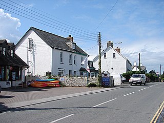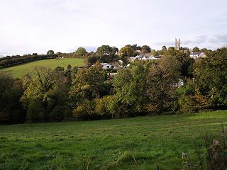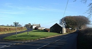
Congdon's Shop is a hamlet in the parish of North Hill, Cornwall, England. [1] It is at the junction of the B3254 Launceston to Liskeard road and the B3257 road from Plusha to Callington. [2]

Congdon's Shop is a hamlet in the parish of North Hill, Cornwall, England. [1] It is at the junction of the B3254 Launceston to Liskeard road and the B3257 road from Plusha to Callington. [2]

Treburley is a village in Cornwall, England, UK, split by the A388 road leading from Callington to Launceston. Treburley is in the valley of the River Inny about a mile south-southeast of Lezant.

Widegates is a village in south-east Cornwall, England, UK, about 4 miles north of Looe. It is on the A387 road about two miles west of Hessenford.
Wringworthy is a hamlet in Cornwall, England, United Kingdom. It is in the parish of Morval on the A387 road.
Addington is a residential area of northeast Liskeard, in Cornwall, England, United Kingdom. It is located at grid reference SX 259 651. According to the Post Office the population of the area at the 2011 census was included in the civil parish of North Hill.

Penwithick or Penwithick Stents is a village in Cornwall, England, United Kingdom. It is situated 2.5 miles (4.0 km) north of St Austell, in the civil parish of Treverbyn in the 'clay country' area of china clay quarrying. Whilst falling in a different civil parish Penwithick does have an electoral ward in its own name. The population of the ward at the census 2011 was 4,479

Trerulefoot is a village in southeast Cornwall, England, United Kingdom. It is located on the A38 trunk road approximately halfway between the towns of Saltash and Liskeard. Trerulefoot has a farm shop, two cafés and a petrol filling station.

Splatt is a small settlement in north Cornwall, England, at grid reference SW 945 763. It lies in St Minver Lowlands parish between Pityme and Rock, although the buildings along the Rock Road are continuous.

East Taphouse is a village in Cornwall, England, in the civil parish of St Pinnock, one mile (1.6 km) west of Doublebois on the A390 Liskeard to St Austell road. A little further west are the hamlets of Middle Taphouse and West Taphouse.

North Hill is a village and civil parish in Cornwall, England, United Kingdom. The village is situated on the east side of the River Lynher approximately six miles (10 km) southwest of Launceston.

Two Bridges is a settlement in east Cornwall, England, United Kingdom, 4 miles (6 km) west-southwest of Launceston at the point where the A30 trunk road crosses the River Inny. The Inny's main tributary, Penpont Water, joins it at Two Bridges.

Churchbridge is a hamlet in Cornwall, England. It is a mile west of Duloe, and is situated on the West Looe River. Both banks of the river are wooded, and to the north of the bridge is a disused quarry and Tremadart Mills, marked as a corn mill on the 1882 map.

Dutson is a hamlet northeast of Launceston in Cornwall, England, and on the A388 main road. It is in the civil parish of St Stephens by Launceston Rural
Halton Barton is a farm in the parish of St Dominic in Cornwall, England.
Looe Mills or Looemills is a hamlet in Cornwall, England. It is on the A38 road between Liskeard and Dobwalls. According to the Post Office the population at the 2011 census was included in the civil parish of Dobwalls and Trewidland.
Muchlarnick is a hamlet in Cornwall, England. It is about two miles east of Lanreath in the civil parish of Pelynt.

Paynter's Cross is a hamlet on the A388 main road southeast of St Mellion in southeast Cornwall, England, UK.
Penpillick is a hamlet in Cornwall, England, UK. It is about two miles north of St Blazey on the A390 road.

Piper's Pool is a hamlet in east Cornwall, England, UK. It is on the A395 road about 5½ miles west of Launceston.

Plusha is a hamlet in Cornwall, England, UK. It is not far from Polyphant on the A30 main road at its junction with the B3257.

The River Kensey is a river in east Cornwall, England, UK which is a tributary of the River Tamar.
50°34′46″N4°25′38″W / 50.57937°N 4.42721°W