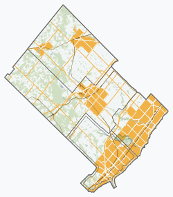
Mississauga is a Canadian city in the province of Ontario. Situated on the western shore of Lake Ontario in the Regional Municipality of Peel, it borders Toronto (Etobicoke) to the east, Brampton to the north, Milton to the northwest, and Oakville to the southwest. Although Mississauga was initially a car-centric city, significant strides have been made to improve walkability and add cycling lanes, with most major arteries having bi-directional bike lanes. The city's downtown is home to several transit hubs, such as Square One Bus Terminal, and the City Centre Transit Terminal. With a population of 717,961 as of 2021, Mississauga is the seventh-most populous municipality in Canada, third-most in Ontario, and second-most in the Greater Toronto Area (GTA) after Toronto itself. However, for the first time in its history, the city's population declined according to the 2021 census, from a 2016 population of 721,599 to 717,961, a 0.5 per cent decrease.

Markham is a city in York Region, Ontario, Canada. It is approximately 30 km (19 mi) northeast of Downtown Toronto. In the 2021 Census, Markham had a population of 338,503, which ranked it the largest in York Region, fourth largest in the Greater Toronto Area (GTA), and 16th largest in Canada.

Milton is a town in Southern Ontario, Canada, and part of the Halton Region in the Greater Toronto Area. Between 2001 and 2011, Milton was the fastest growing municipality in Canada, with a 71.4% increase in population from 2001 to 2006 and another 56.5% increase from 2006 to 2011. In 2016, Milton's census population was 110,128 with an estimated growth to 228,000 by 2031. It remained the fastest growing community in Ontario but was deemed to be the sixth fastest growing in Canada at that time.

The Regional Municipality of Waterloo is a metropolitan area of Southern Ontario, Canada. It contains the cities of Cambridge, Kitchener and Waterloo, and the townships of North Dumfries, Wellesley, Wilmot and Woolwich. Kitchener, the largest city, is the seat of government.

Georgetown is a large unincorporated community in the town of Halton Hills, Ontario, Canada, in the Regional Municipality of Halton. The town includes several small villages or settlements such as Norval, Limehouse, Stewarttown and Glen Williams near Georgetown and another large population centre, Acton. In 2016, the population of Georgetown was 42,123. It sits on the banks of the Credit River, approximately 40 km west of Toronto, and is part of the Greater Toronto Area. Georgetown was named after entrepreneur George Kennedy who settled in the area in 1821 and built several mills and other businesses.

Halton Hills is a town in the Regional Municipality of Halton, located in the northwestern end of the Greater Toronto Area, Ontario, Canada with a population of 62,951 (2021).

The County of Brant is a single-tier municipality in the Canadian province of Ontario. Although it retains the word "county" in its name, the municipality is a single-tier municipal government and has no upper tier. The County of Brant has service offices in Burford, Paris, Oakland, Onondaga and St. George. The largest population centre is Paris.

Puslinch is a township in south-central Ontario, Canada, in Wellington County, surrounding the south end of Guelph. The main source of production is agricultural, spring water bottling and mining. Aggregate mining has been dominant throughout the county. About half of the township is forested, and a conservation area lies to the southwest. Near the western edge of the township, just outside Cambridge, Ontario, is Puslinch Lake, the largest kettle lake in North America. It is part of the Guelph census metropolitan area.

The Township of Wilmot is a rural township in the Regional Municipality of Waterloo in southwestern Ontario, Canada.

Waterloo County was a county in Canada West in the United Province of Canada from 1853 until 1867, then in the Canadian province of Ontario from 1867 until 1973. It was the direct predecessor of the Regional Municipality of Waterloo.
Halton County is a former county in the Canadian province of Ontario, with an area of 92,342 hectares. It is also one of the oldest counties in Canada.
New Dundee is a small community of 1,119 people at the time of the 2016 Census, in the township of Wilmot, Ontario, Canada. It is located southwest of Kitchener.
Nassagaweya Township is a geographic township and former municipality now part of Milton.

Roseville is a community in Ontario, Canada located at 43°20′35″N80°28′31″W. It is within the rural township of North Dumfries, which forms part of the Region of Waterloo, and is located between Ayr, Kitchener and Highway 401.
Halton was a provincial electoral district in Central Ontario, Canada. It elected one member to the Legislative Assembly of Ontario.
Haltonville is an unincorporated community in Milton, Ontario, Canada.
Brookville is a hamlet in Milton, Ontario, Canada.
Palermo, founded as Hagartown, is a former hamlet in Halton County, Ontario, Canada, within the town of Oakville.

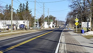
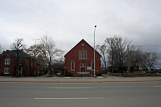
Campbellville is a compact rural community in the geographic township of Nassagaweya in the Town of Milton, Ontario. It is on the Niagara Escarpment and is a tourist destination for residents of the Greater Toronto Area.

Sayers Mills is an unincorporated community in Milton, Ontario, Canada.