Dieterode is a municipality in the district Eichsfeld, Thuringia, Germany. It is part of the municipal association Ershausen/Geismar.

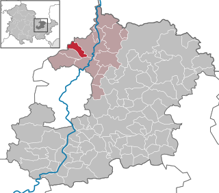
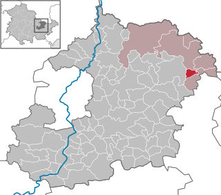
Hohes Kreuz is a municipality in the Eichsfeld in Thuringia, Germany. The municipality was created in 1991 by merging the municipalities of Bischhagen, Mengelrode, Siemerode, and Streitholz.

Eichstruth is a municipality in the district of Eichsfeld in Thuringia, Germany. By area, it is the smallest municipality in what was East Germany, although there are 35 rural municipalities ("Gemeinden") and one city ("Stadt"), Arnis, in what was West Germany that have lesser or equal area.

Kindelbrück is a municipality in the district of Sömmerda, in Thuringia, Germany. It is situated on the river Wipper, 12 km north of Sömmerda. The former municipalities Bilzingsleben, Frömmstedt and Kannawurf were merged into Kindelbrück in January 2019.

Königsee is a town and a municipality in the district of Saalfeld-Rudolstadt, in Thuringia, Germany. It is situated 12 kilometres (7.5 mi) east of Ilmenau, and 35 kilometres (22 mi) south of Erfurt. The present municipality was formed on 31 December 2012 by the merger of the former municipalities Königsee and Rottenbach, under the name Königsee-Rottenbach. On 1 January 2019 the former municipalities Dröbischau and Oberhain were absorbed, and the name was changed to Königsee.

Wutha-Farnroda is a municipality in the Wartburgkreis district of Thuringia, Germany.
Tottleben is a municipality in the Unstrut-Hainich-Kreis district of Thuringia, Germany.

Eichenberg is a municipality in the district Saale-Holzland, in Thuringia, Germany.
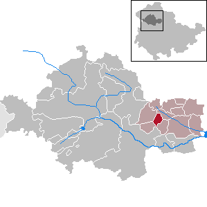
Weißbach is a municipality in the district Saale-Holzland, in Thuringia, Germany. The name of the location was vouched first about 1400, according to other sources in 1072. Meat production is dominating in local business.
Zimmern is a municipality in the Saale-Holzland district of Thuringia, Germany.

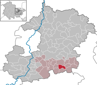
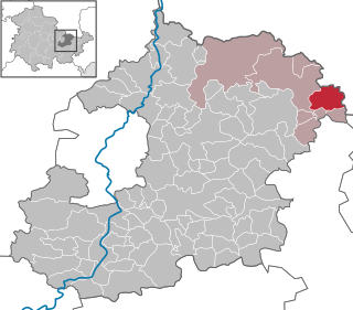
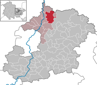
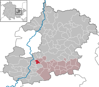
Wilhelmsdorf is a municipality in the district Saale-Orla-Kreis, in Thuringia, Germany.
Straußfurt is a municipality in the Sömmerda district of Thuringia, Germany. The former municipality Henschleben was merged into Straußfurt in December 2019.
Crossen an der Elster is a municipality in the district Saale-Holzland, in Thuringia, Germany.
Frauenprießnitz is a municipality in the district Saale-Holzland, in Thuringia, Germany.
Kleinbockedra is a municipality in the district Saale-Holzland, in Thuringia, Germany. With 34 inhabitants at the end of 2019, it is the least populous municipality in what used to be East Germany, although there are 23 municipalities with lesser or equal population in what used to be West Germany. All of the Western municipalities are in either Rhineland-Palatinate (17), or Schleswig-Holstein (6).
Laasdorf is a municipality in the district Saale-Holzland, in Thuringia, Germany.
Rauda is a municipality in the district Saale-Holzland, in Thuringia, Germany.

Seitenroda is a municipality in the district Saale-Holzland, in Thuringia, Germany.
Zöllnitz is a municipality in the district of Saale-Holzland in Thuringia, Germany.

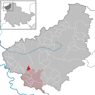
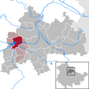
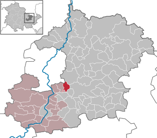
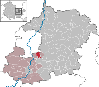
Am Ohmberg is a municipality in the district of Eichsfeld, in Thuringia, Germany. It was formed by the merger of the previously independent municipalities Bischofferode, Großbodungen and Neustadt, on 1 December 2010.


