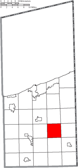
Dorset Township, Ohio Last updated November 12, 2025 Geography Located in the eastern part of the county, it borders the following townships:
No municipalities are located in Dorset Township, although the unincorporated community of Dorset lies in the center of the township.
Climate Climate data for Dorset, Ohio , 1991–2020 normals, extremes 1956– 2018 Month Jan Feb Mar Apr May Jun Jul Aug Sep Oct Nov Dec Year Record high °F (°C) 68 74 83 88 90 99 100 98 95 86 83 74 100 Mean maximum °F (°C) 54.9 57.3 71.5 80.3 83.7 89.4 91.2 89.6 86.3 78.4 69.5 57.3 92.1 Mean daily maximum °F (°C) 32.2 34.8 43.8 57.2 68.4 76.6 80.6 79.2 73.1 61.2 48.3 37.4 57.7 Daily mean °F (°C) 24.4 25.7 34.3 46.2 57.1 65.6 69.6 68.1 61.8 50.7 40.1 30.5 47.8 Mean daily minimum °F (°C) 16.5 16.7 24.8 35.2 45.7 54.7 58.6 57.0 50.4 40.3 31.9 23.7 38.0 Mean minimum °F (°C) −8.9 −6.6 1.4 19.7 28.6 37.3 44.3 42.7 35.2 26.4 16.7 1.2 −13.7 Record low °F (°C) −28 −33 −20 4 21 30 37 30 26 15 2 −22 −33 Average precipitation inches (mm) 3.32 2.55 3.02 3.88 4.00 4.98 4.94 4.19 4.52 4.35 3.51 3.67 46.93 Average snowfall inches (cm) 29.6 15.8 12.5 2.4 0.0 0.0 0.0 0.0 0.0 0.4 8.4 20.8 89.9 Average extreme snow depth inches (cm) 11.3 7.9 7.2 2.6 0.0 0.0 0.0 0.0 0.0 0.3 4.5 9.1 14.6 Average precipitation days (≥ 0.01 in) 14.1 10.2 11.2 12.4 11.1 11.2 10.6 9.3 9.6 12.8 12.4 13.1 138.0 Average snowy days (≥ 0.1 in) 10.7 7.4 4.9 1.0 0.0 0.0 0.0 0.0 0.0 0.2 2.7 7.7 34.6 Source 1: NOAA [ 4] Source 2: XMACIS2 (mean maxima/minima, snow depth 1981– 2010) [ 5]
Name and history It is the only Dorset Township statewide. [ 6]
Government The township is governed by a three-member board of trustees, who are elected in November of odd-numbered years to a four-year term beginning on the following January 1. Two are elected in the year after the presidential election and one is elected in the year before it. There is also an elected township fiscal officer, [ 7] who serves a four-year term beginning on April 1 of the year after the election, which is held in November of the year before the presidential election. Vacancies in the fiscal officership or on the board of trustees are filled by the remaining trustees. Currently, the board is composed of chairman Herbert Dean and members James Bailey and Jeffrey Hinkle. [ 8]
References 1 2 "US Board on Geographic Names" . United States Geological Survey . October 25, 2007. Retrieved January 31, 2008 . ↑ "U.S. Census website" . United States Census Bureau . Retrieved January 31, 2008 . ↑ "Dorset township, Ashtabula County, Ohio - Census Bureau Profile" . United States Census Bureau. Retrieved May 15, 2023 . ↑ "U.S. Climate Normals Quick Access – Station: Dorset, OH" . National Oceanic and Atmospheric Administration. Retrieved February 24, 2023 . ↑ "xmACIS2" . National Oceanic and Atmospheric Administration. Retrieved February 24, 2023 . ↑ "Detailed map of Ohio" (PDF) . United States Census Bureau . 2000. Retrieved February 16, 2007 . ↑ §503.24 , §505.01 , and §507.01 of the Ohio Revised Code . Accessed 4/30/2009. ↑ Ashtabula County, Ohio Archived 2007-07-31 at the Wayback Machine This page is based on this
Wikipedia article Text is available under the
CC BY-SA 4.0 license; additional terms may apply.
Images, videos and audio are available under their respective licenses.