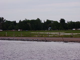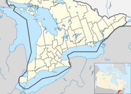
The York River is a river in Renfrew County, Hastings County and Haliburton County in Ontario, Canada. The river is in the Saint Lawrence River drainage basin, and flows from the southern extension of Algonquin Provincial Park to the Madawaska River.

The Head River is a river in the township of Ramara, Simcoe County and the city of Kawartha Lakes in Southern Ontario, Canada. It is in the Great Lakes Basin, and flows from north of Victoria and Wolf Lakes in Queen Elizabeth II Wildlands Provincial Park, south through Fishog Lake and Head Lake, then west to the Black River east of Lake Couchiching. The Black River flows via the Severn River to Georgian Bay on Lake Huron.

The Moon River is a river in the municipalities of Georgian Bay and Muskoka Lakes, District Municipality of Muskoka in Central Ontario, Canada. It flows from Lake Muskoka at the community of Bala to Georgian Bay, Lake Huron, south of Parry Sound. The name of the river is thought to be derived from its Ojibwa name moonz-ziibi, which means "moose river".

The Tay River is a river in Lanark County in Eastern Ontario, Canada. It is in the Saint Lawrence River drainage basin and is a left tributary of the Rideau River.

The North York River is a river in the municipality of Dysart et al, Haliburton County in Central Ontario, Canada. It is in the southern extension of Algonquin Provincial Park, is in the Saint Lawrence River drainage basin, and is a left tributary of the York River.

Mitchell Lake is a small, man-made lake in the Great Lakes Basin and located in the city of Kawartha Lakes in Central Ontario, Canada. The lake was formed sometime in the first decade of the twentieth century alongside the construction of the Kirkfield Lift Lock, which was completed and operational by the end of 1907. It is part of the summit of the Trent–Severn Waterway, the middle of a connection via canals of Balsam Lake on the Gull River system, which flows eventually to Lake Ontario, and the Kirkfield Lift Lock and Canal Lake on the Talbot River system, which flows to Lake Simcoe and eventually to Lake Huron.

The Blanche River is a river in the Saint Lawrence River drainage basin in Timiskaming District in northeastern Ontario, Canada. The river is a tributary of Lake Timiskaming and its name is from the French for the colour "white".

The Indian River is a river in Peterborough County in Central Ontario, Canada. It is in the Great Lakes Basin, and is a tributary of Rice Lake.

Bobs Lake is a lake in Frontenac County and Lanark County in Eastern Ontario, Canada. It is in the St. Lawrence River drainage basin and is the source of the Tay River.

The Carp River is a river in the Unorganized North Part of Algoma District in Northeastern Ontario, Canada. The river is in the Great Lakes Basin and is a tributary of Lake Superior.

Koshlong Creek is a river in geographic Glamorgan Township in the municipality of Highlands East, Haliburton County in Central Ontario, Canada. The river is in the Great Lakes Basin and is a left tributary of the Burnt River.

The Black River is a river in Simcoe County, the District Municipality of Muskoka, the City of Kawartha Lakes, and Haliburton County in Central Ontario, Canada. It is part of the Great Lakes Basin, and is a right tributary of the Severn River.

Depot Creek is a river in Frontenac County and Lennox and Addington County in Eastern Ontario, Canada. It is in the Great Lakes Basin and is a left tributary of the Napanee River.

Carhess Creek is a river in Greater Sudbury and Sudbury District in Northeastern Ontario, Canada. It is in the Great Lakes Basin and is a right tributary of the Onaping River. The name is a portmanteau of the names of two geographic townships through which it flows, Hess Township and Cartier Township.

The Irondale River is a river in Haliburton County in Central Ontario, Canada. It is part of the Great Lakes Basin, and is a left tributary of the Burnt River.

The Nemegosenda River is a river in Algoma District and Sudbury District in northeastern Ontario, Canada. It is in the James Bay drainage basin, and is a right tributary of the Kapuskasing River.

The Borden River is a river in Sudbury District in northeastern Ontario, Canada. It is in the James Bay drainage basin, and is a left tributary of the Nemegosenda River.

The Poplar Rapids River is a river in the municipality of Fauquier-Strickland and Unorganized North Cochrane District, Cochrane District in Northeastern Ontario, Canada. It is in the James Bay drainage basin and is a left tributary of the Mattagami River.

The Rostoul River is a river in the Unorganized Part of Kenora District in Northwestern Ontario, Canada. It is in the Hudson Bay drainage basin, is a left tributary of the Gammon River, and is within Woodland Caribou Provincial Park.


