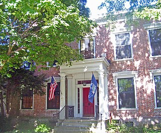
Columbia County is a county located in the U.S. state of New York. As of the 2010 census, the population was 63,096. The county seat is Hudson. The name comes from the Latin feminine form of the name of Christopher Columbus, which was at the time of the formation of the county a popular proposal for the name of the United States.

Olean is a village in Miller County, Missouri, United States. The population was 128 at the 2010 census.

Austerlitz is a town in Columbia County, New York, United States. The population was 1,654 at the 2010 census. The town was named after the Battle of Austerlitz.
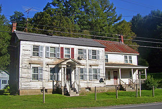
Canaan is a town in Columbia County, New York, United States. The population was 1,710 at the 2010 census. The town is in the northeast part of the county.

New Lebanon is a town in Columbia County, New York, United States, 24 miles (39 km) southeast of Albany. In 1910, 1,378 people lived in New Lebanon. The population was 2,305 at the 2010 census.

Jay is a town in Essex County, New York, United States. The population was 2,506 at the 2010 census. The town is named after John Jay, governor of New York when the town was formed.

Mineville-Witherbee was a census-designated place in the town of Moriah in Essex County, New York, United States. The population was 1,747 at the 2000 census. For the 2010 census, the area was split into two separate CDPs comprising the hamlets of Mineville and Witherbee. They are located in the northern part of Moriah, northwest of Port Henry. Mineville was named for the iron ore mines that used to operate here.

Springfield is a town in Otsego County, New York, United States. The population was 1,358 at the 2010 census.

Charlton is a town in Saratoga County, New York, USA. The population was 3,954 at the 2000 census. The town is named after a notable physician.

Colton is a town in St. Lawrence County, New York, USA. The population was 1,451 at the 2010 census. The town, originally named Matildaville, is named after early settler Jesse Colton Higley.

Dundee is a village in Yates County, New York, USA. The population was 1,725 at the 2010 census. The name was taken from Dundee, the city in Scotland with a population of 148,260.

Chatham is a village in Columbia County, New York, United States. The population was 1,770 at the 2010 census.
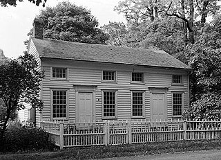
Chatham is a town in Columbia County, New York, United States. The population was 4,128 at the 2010 census.
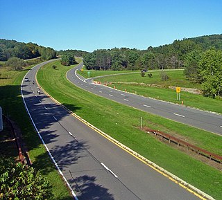
Ghent is a town in Columbia County, New York, United States, with a ZIP code of 12075. The population was 5,402 at the 2010 census. Ghent is centrally located in the county and is northeast of the city of Hudson.
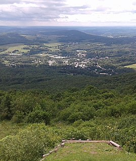
Stamford is a village in Delaware County, New York, United States. The population was 1,119 at the 2010 census. The village is located partly in the town of Stamford and partly in the town of Harpersfield. The village is on routes 23 and 10. The village has termed itself the "Queen of the Catskills".

Laurens is a town in Otsego County, New York, United States. The population was 2,424 at the 2010 census.

Nassau is a village located in the Town of Nassau in Rensselaer County, New York, United States. The population was 1,133 at the 2010 census.

Waterford is a town in Saratoga County, New York, United States. The population was 8,423 at the 2010 census. The name of the town is derived from its principal village, also called Waterford. The town is located in the southeast corner of Saratoga County and north-northwest of Troy at the junction of the Erie Canal and the Hudson River.

Walloomsac, New York is a location in New York State, on the Walloomsac River. It is to the east, and upstream, from North Hoosick, New York. It includes the Bennington Battlefield, which was fought on both sides of the river and listed on the National Register of Historic Places in 1966. It is located in the northeast part of the Town of Hoosick, in Rensselaer County. The nearest community is Hoosick Falls, to its southwest.

Brunswick (Brittonkill) Central School District (BCSD) is a rural fringe central school district located east of the city of Troy whose main campus resides in the town of Brunswick in Rensselaer County, New York, United States. The district has two operating school buildings: Tamarac Elementary School and Tamarac Secondary School. The district is a member of the Rensselaer-Columbia-Greene Board of Cooperative Educational Services (BOCES), known as Questar III.


