This article needs additional citations for verification .(November 2024) |

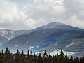
Sněžka (↑)
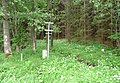
Studánky (S)
Severní (N)
Krásná (W)
Bukovec (E)
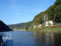
Hřensko (↓)
Praděd
Bílina
Hranice
Extreme points of the Czech Republic
This is a list of the extreme points of the Czech Republic :