Extreme points of the Faroe Islands

Last updated
Faroe Islands location map.svg
Red pog.svg
Enniberg, Viðoy
Red pog.svg
Munkurin, Suðuroy
Red pog.svg
Gáadrangur, Mykines
Red pog.svg
Stapin, Fugloy
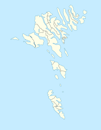
Extreme points of Faroe Islands

The extreme points of the Faroe Islands include the coordinates that are further north, south, east or west than any other location in the Faroe Islands; and the highest and the lowest elevations in the territory.

Contents

The latitude and longitude are expressed in decimal degree notation, in which a positive latitude value refers to the northern hemisphere, and a negative value refers to the southern hemisphere. Similarly, a positive longitude value refers to the eastern hemisphere, and a negative value refers to the western hemisphere. The coordinates used in this article are sourced from Google Earth, which makes use of the World Geodetic System (WGS) 84, a geodetic reference system.

Latitude and longitude

HeadingLocationCoordinates [nb 1] Ref
North Enniberg, Viðoy 62°24′00″N6°34′00″W / 62.400000°N 6.566667°W / 62.400000; -6.566667 (Viðoy (Northernmost)) [1]
South Munkurin, south of Suðuroy 61°21′00″N6°40′00″W / 61.350000°N 6.666667°W / 61.350000; -6.666667 (Munkurin (Northernmost)) [2]
WestGáadrangur, a rock to the west of Mykines 62°06′00″N7°47′00″W / 62.100000°N 7.783333°W / 62.100000; -7.783333 (Mykines (Westernmost)) [3]
East Stapin, a sea stack east of Fugloy 62°20′00″N6°16′00″W / 62.333333°N 6.266667°W / 62.333333; -6.266667 (Cape Shabla (Easternmost)) [4]

Altitude

ExtremityNameElevationLocationCoordinatesRef
Highest Slættaratindur 880 m (2,887 ft) Eysturoy 62°10′48″N7°00′00″W / 62.1800°N 7.0000°W / 62.1800; -7.0000 (Slættaratindur (Highest))
Lowest Atlantic Ocean and Norwegian Sea 0 m (0.0 ft) Sea Coast

See also

Notes

  1. Coordinates obtained from Google Earth. Google Earth makes use of the WGS84 geodetic reference system.

References

  1. "Google Maps (Viðoy)". Google. Retrieved 2008-12-13.
  2. "Google Maps (Munkurin)". Google. Retrieved 2008-12-13.
  3. "Google Maps (Mykines)". Google. Retrieved 2008-12-13.
  4. "Google Maps (Fugloy)". Google. Retrieved 2008-12-13.