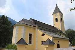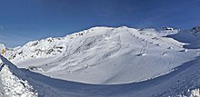
The Kreuzeck Group is a mountain range of the Central Eastern Alps. It may be considered either a separate range or part of the larger High Tauern chain. Administratively, the range belongs to the Austrian states of Carinthia and, in the westernmost part, Tyrol.
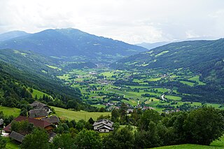
Malta is a municipality and a village in the district of Spittal an der Drau, in the Austrian state of Carinthia.

Greifenburg is a market town in the district of Spittal an der Drau in the Austrian state of Carinthia.

Krems in Kärnten is a municipality in the district of Spittal an der Drau in Carinthia in Austria.

Lurnfeld is a market town in the district of Spittal an der Drau in the Austrian state of Carinthia. The municipality consists of the two Katastralgemeinden: Möllbrücke and Pusarnitz, comprising several small villages.

Mallnitz is a municipality in the Spittal an der Drau District in Carinthia, Austria.

Mühldorf is a municipality in the district of Spittal an der Drau in the Austrian state of Carinthia.

Oberdrauburg is a market town in the district of Spittal an der Drau at the western rim of the Austrian state of Carinthia.

Obervellach is a market town in the district of Spittal an der Drau, in the Austrian state of Carinthia.
Rangersdorf is a town in the district of Spittal an der Drau in Carinthia, Austria.

Reißeck is a municipality in the district of Spittal an der Drau in Carinthia, Austria.

Rennweg am Katschberg is a market town in the district of Spittal an der Drau in Carinthia, Austria.
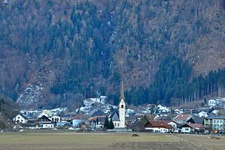
Sachsenburg is a market town in the district of Spittal an der Drau in Carinthia, Austria.

Ferndorf is a municipality in the district of Villach-Land in the Austrian state of Carinthia.

Wernberg is a municipality in the district of Villach-Land in the Austrian state of Carinthia.
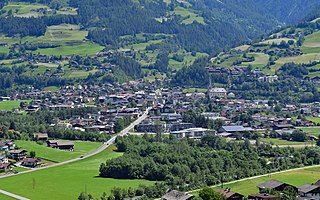
Matrei in Osttirol is a market town in the Lienz District in the Austrian state of Tyrol. It is situated about 29 km (18 mi) north of Lienz within the Hohe Tauern mountain range of the Central Eastern Alps. Its municipal area comprises parts of the Granatspitze Group and the Venediger Group, with the Großvenediger peak as its highest point. The population largely depends on tourism, seasonal agriculture and forestry.

Kleinarl is a municipality in the St. Johann im Pongau district in the Austrian state of Salzburg.

Hüttschlag is a municipality in the district of St. Johann im Pongau in the Austrian state of Salzburg.

The Mölltaler Polinik, at 2,784 m (9,134 ft), is the highest mountain of the Kreuzeck group, a southern part of the High Tauern range in the Austrian state of Carinthia.

The Möll is a river in northwestern Carinthia in Austria, a left tributary of the Drava. Its drainage basin is 1,100.8 km2 (425.0 sq mi).
