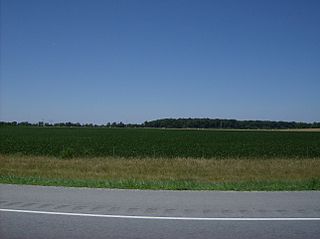
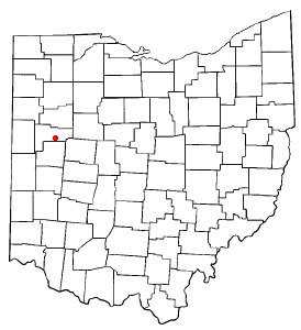
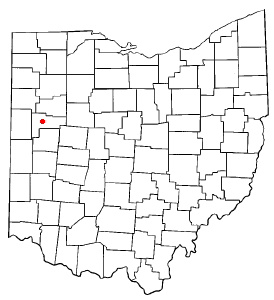
Auglaize County is a county in Northwestern Ohio, United States of America. As of the 2020 census, the population was 46,442. Its county seat and largest city is Wapakoneta.

New Knoxville is a village in Auglaize County, Ohio, United States. It was established in 1836. The population was 946 at the 2020 census. It is included in the Wapakoneta, Ohio Micropolitan Statistical Area.

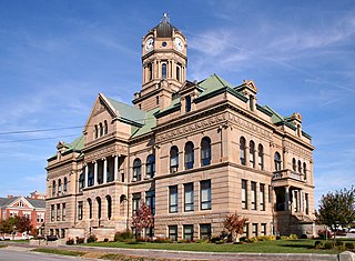
Wapakoneta is a city in and the county seat of Auglaize County, Ohio, United States. Located along the Auglaize River, the city is about 56 miles (90 km) north of Dayton and 83 miles (134 km) south of Toledo. The population was 9,957 at the 2020 census. It is the principal city of the Wapakoneta micropolitan area, which is included in the Lima–Van Wert–Celina combined statistical area.
Duchouquet Township is one of the fourteen townships of Auglaize County, Ohio, United States. The 2020 census found 14,676 people in the township.

Moulton Township is one of the fourteen townships of Auglaize County, Ohio, United States. The 2020 census found 1,634 people in the township.

Pusheta Township is one of the fourteen townships of Auglaize County, Ohio, United States. The 2020 census found 1,269 people in the township.

Clay Township is one of the fourteen townships of Auglaize County, Ohio, United States. The 2020 census found 790 people in the township.

Wayne Township is one of the fourteen townships of Auglaize County, Ohio, United States. The 2020 census found 1,508 people in the township.

New Hampshire is a census-designated place in central Goshen Township, Auglaize County, Ohio, United States. As of the 2010 census, it had a population of 150.
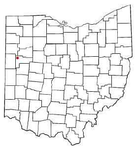
Fryburg is an unincorporated community located in central Pusheta Township, Auglaize County, Ohio, United States.
The Lima–Van Wert–Wapakoneta Combined Statistical Area (CSA) is made up of three counties in Northwest Ohio. The Lima Metropolitan Statistical Area and two Micropolitan Statistical Areas – Van Wert and Wapakoneta, are components of the CSA. As of the 2000 Census, the CSA had a population of 184,743.
Moulton is an unincorporated community located in southern Moulton Township, Auglaize County, Ohio, United States.
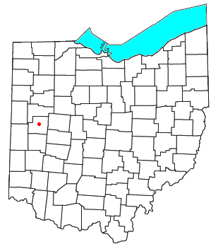
Glynwood is an unincorporated community located in southwestern Moulton Township, in Auglaize County, Ohio, United States.
Kossuth is an unincorporated community located in eastern Salem Township, Auglaize County, Ohio, United States.
Swanders is a rural unincorporated community located on Fort Loramie-Swanders Road in Franklin Township, Shelby County, Ohio, United States. It lies midway between the village of Anna and the city of Sidney.
The Lima metropolitan statistical area, as defined by the United States Census Bureau, is an area consisting of one county – Allen – in Northwest Ohio, anchored by the city of Lima. As of the 2000 census, the MSA had a population of 108,473.
Pusheta Creek is a stream located entirely within Auglaize County, Ohio. The 13.7-mile (22.0 km) long stream is a tributary of the Auglaize River.
Blackhoof Creek is a stream located entirely within Auglaize County, Ohio. The 6-mile (9.7 km) long stream is a tributary of the Auglaize River.
Gutman is an unincorporated community in Auglaize County, in the U.S. state of Ohio.
Slater is an unincorporated community in Clay Township, Auglaize County, Ohio, United States. It is located southeast of Wapakoneta and just south of Saint Johns, on Geyer Road between Clay Road and Gutman Road, at 40°31′40″N84°04′24″W.


