Duchouquet Township is one of the fourteen townships of Auglaize County, Ohio, United States. The 2020 census found 14,676 people in the township.

Moulton Township is one of the fourteen townships of Auglaize County, Ohio, United States. The 2020 census found 1,634 people in the township.

Pusheta Township is one of the fourteen townships of Auglaize County, Ohio, United States. The 2020 census found 1,269 people in the township.

Clay Township is one of the fourteen townships of Auglaize County, Ohio, United States. The 2020 census found 790 people in the township.

Stokes Township is one of the seventeen townships of Logan County, Ohio, United States. As of the 2020 census, the population was 4,550.

Union Township is one of the fourteen townships of Auglaize County, Ohio, United States. The 2020 census found 1,746 people in the township.

Goshen Township is one of the fourteen townships of Auglaize County, Ohio, United States. The 2020 census found 472 people in the township.

Logan Township is one of the fourteen townships of Auglaize County, Ohio, United States. The 2020 census found 1,158 people in the township.

Salem Township is one of the fourteen townships of Auglaize County, Ohio, United States. The 2020 census found 507 people in the township.
Noble Township is one of the fourteen townships of Auglaize County, Ohio, United States. The 2020 census found 1,863 people in the township.

Wayne Township is one of the fourteen townships of Auglaize County, Ohio, United States. The 2020 census found 1,508 people in the township.

Roundhead Township is one of the fifteen townships of Hardin County, Ohio, United States. As of the 2020 census the population was 630.

New Hampshire is a census-designated place in central Goshen Township, Auglaize County, Ohio, United States. As of the 2010 census, it had a population of 150.
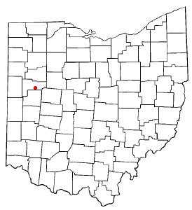
Fryburg is an unincorporated community located in central Pusheta Township, Auglaize County, Ohio, United States.
Kossuth is an unincorporated community located in eastern Salem Township, Auglaize County, Ohio, United States.

State Route 720 is an east–west state highway in the western portion of the U.S. state of Ohio. The highway runs from its western terminus at SR 65 approximately 3.75 miles (6.04 km) north of Jackson Center to its eastern terminus at US 33 in Russells Point.

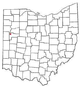
Westminster is an unincorporated community in western Auglaize Township, Allen County, Ohio, United States. It lies along State Route 117 just north of its intersection with State Route 196, 6.5 miles (10.5 km) north of Waynesfield and 7.5 miles (12.1 km) southeast of the downtown part of the city of Lima, the county seat of Allen County. The upper reaches of the Auglaize River flow past the community.

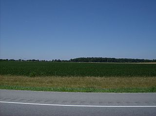
Geyer is an unincorporated community in southwestern Clay Township, Auglaize County, Ohio, United States.

Holden is an unincorporated community on the border of Wayne Township in Auglaize County and Roundhead Township in Hardin County, in the U.S. state of Ohio.
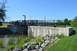
Slater is an unincorporated community in Clay Township, Auglaize County, Ohio, United States. It is located southeast of Wapakoneta and just south of Saint Johns, on Geyer Road between Clay Road and Gutman Road, at 40°31′40″N84°04′24″W.


