
Lens is a municipality in the district of Sierre in the canton of Valais in Switzerland.

Rohrbachgraben is a municipality in the Oberaargau administrative district in the canton of Bern in Switzerland.
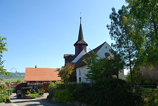
Berken is a municipality in the Oberaargau administrative district in the canton of Bern in Switzerland.
Heimenhausen is a municipality in the Oberaargau administrative district in the canton of Bern in Switzerland.
Inkwil is a municipality in the Oberaargau administrative district in the canton of Bern in Switzerland.

Niederbipp is a municipality in the Oberaargau administrative district in the canton of Bern in Switzerland. On 1 January 2020 the former municipality of Wolfisberg merged into Niederbipp.
Niederönz is a municipality in the Oberaargau administrative district in the canton of Bern in Switzerland.

Oberbipp is a municipality in the Oberaargau administrative district in the canton of Bern in Switzerland.
Ochlenberg is a municipality in the Oberaargau administrative district in the canton of Bern in Switzerland.
Thörigen is a municipality in the Oberaargau administrative district in the canton of Bern in Switzerland.
Walliswil bei Wangen is a municipality in the Oberaargau administrative district in the canton of Bern in Switzerland.
Wangenried is a former municipality in the Oberaargau administrative district in the canton of Bern in Switzerland. On 1 January 2024 the former municipality of Wangenried merged to form the municipality of Wangen an der Aare.

Wasterkingen is a municipality in the district of Bülach in the canton of Zürich in Switzerland.

Dänikon is a municipality in the district of Dielsdorf in the canton of Zürich in Switzerland.

Volken is a municipality in the district of Andelfingen in the canton of Zürich in Switzerland.
Waltalingen is a former municipality in the district of Andelfingen in the canton of Zürich in Switzerland. On 1 January 2019 the former municipalities of Oberstammheim, Unterstammheim and Waltalingen merged into the new municipality of Stammheim.

Wil is a municipality in the district of Bülach in the canton of Zürich in Switzerland.
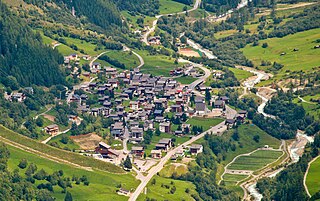
Wiler (Lötschen) is a municipality in the district of Raron in the canton of Valais in Switzerland.

Haute-Ajoie is a municipality in the district of Porrentruy in the canton of Jura in Switzerland. It was founded on 1 January 2009 by the former municipalities of Chevenez, Damvant, Réclère and Roche-d'Or.
La Tène is a former municipality in the Swiss canton of Neuchâtel. On 1 January 2009, the former municipalities of Marin-Epagnier and Thielle-Wavre merged to form the new municipality of La Tène. On 1 January 2025 the former municipalities of Enges, Hauterive, Saint-Blaise and La Tène merged into the new municipality of Laténa.


