Hanna Township | |
|---|---|
 | |
| Coordinates: 41°24′26″N86°44′50″W / 41.40722°N 86.74722°W | |
| Country | United States |
| State | Indiana |
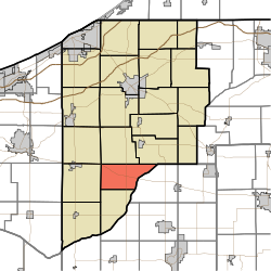
| County | LaPorte |
| Government | |
| • Type | Indiana township |
| Area | |
• Total | 26.52 sq mi (68.7 km2) |
| • Land | 26.39 sq mi (68.3 km2) |
| • Water | 0.13 sq mi (0.34 km2) |
| Elevation | 682 ft (208 m) |
| Population | |
• Total | 976 |
| • Density | 36.6/sq mi (14.1/km2) |
| FIPS code | 18-31198 [3] |
| GNIS feature ID | 453369 |
Hanna Township is one of twenty-one townships in LaPorte County, Indiana. As of the 2020 census, its population was 976 (up from 965 at 2010 [4] ) and it contained 409 housing units. It contains the census-designated place of Hanna.
