| Heolgerrig | |
|---|---|
 The village of Heolgerrig with the A470 trunk road in the foreground and Mynydd Aberdâr beyond | |
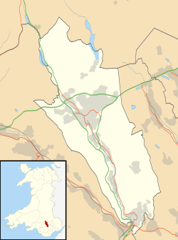 Heolgerrig Location within Merthyr Tydfil | |
| OS grid reference | SO034067 |
| Principal area | |
| Preserved county | |
| Country | Wales |
| Sovereign state | United Kingdom |
| Post town | Merthyr Tydfil |
| Postcode district | CF48 |
| Dialling code | 01685 |
| Police | South Wales |
| Fire | South Wales |
| Ambulance | Welsh |
| UK Parliament | |
| Senedd Cymru – Welsh Parliament | |
Heolgerrig (Welsh for "stony road"; formerly "Pen-yr-Heolgerrig") is a small village in Merthyr Tydfil County Borough, Wales. It is part of the community of Cyfarthfa. [1]
Contents

It lies just west of Merthyr Tydfil, and is separated from it by the main A470 trunk road.
Village amenities include the Heolgerrig primary school, The Red Lion pub, The Heolgerrig Social Club, three chapels and a post office, a small convenience store and a large football pitch named "The Moodies" used by Heolgerrig Red Lions FC.
The village was served by Heolgerrig Halt railway station at one time.