Gondola Point is a Canadian suburban community located in Kings County, New Brunswick.
The Sanen River is a river in southern East Java province, Java island, Indonesia, about 800 km east of the capital Jakarta.
The Pono River is a river on the Indonesian part of the island of Timor, which is in the territory of the East Nusa Tenggara province, about 2000 km east of the Indonesian capital, Jakarta.
Masiwang River is a river of eastern Seram Island, Maluku province, Indonesia, about 2700 km northeast of the capital Jakarta.
The Tala River is a river of western Seram Island, Maluku province, Indonesia, about 2400 km northeast of the capital Jakarta.

The Ci Banten, or Ci Peteh, is a river in Banten province on the island of Java, Indonesia.
Simba is a small village along the Mombasa Road (A109), some 140 kilometers southeast of Nairobi, between Emali and Kiboko. It is situated on the boundary of the Makueni and Kajiado counties. The Simba Plains are located some 10 kilometers due south.
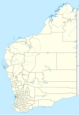
Fraser Lake is a lake located in the state of Western Australia, about 1,700 kilometres (1,100 mi) northeast of Perth, the state capital. Fraser Lake is 19 metres (62 ft) above sea level.

Pee Pee Island is a small island located in the province of Newfoundland and Labrador in the far east of Canada. It is currently one of the four islands in the Witless Bay Ecological Reserve.
Ram Island is an island in the Western Port of Victoria, Australia, located about 75 kilometers southeast of the state capital Melbourne.

Round Island or Ngan Chau is an island in Hong Kong. Administratively part of the Southern District, the island has an area of 0.17 km2. An unmanned navigational beacon was constructed on the island in 1972.
Ilemba Island is an island in Lake Victoria. Administratively it belongs to Kenya. It is part of the Homa Bay County, in the western part of the country, 300 km west of the capital Nairobi.
Kiringiti Island is the name given to an island in Lake Victoria. Administratively, it belongs to Kenya. It is part of the Homa Bay County, in the western part of the country, 300 km west of the capital Nairobi.
Sumba Island is an island in Kenya in Lake Victoria. It is located in the administrative area of Busia County in the western part of the country, 400 km west of the capital Nairobi.
Mount Majestic is a 366-metre (1,201 ft) mountain in Victoria, Australia, primarily within the town of Cockatoo. It is located in the Cardinia region, about 47 kilometres (29 mi) east of the state capital Melbourne. Its peak about 9 metres (30 ft) above the surrounding terrain.

Solnohu or Sol Nohu, also known as Solnoho, Solnahu and Solnahou, is a small crescent-shaped uninhabited island in the Rotuma Group of Fiji. The island is of special importance in Rotuman and Tongan funerary customs.

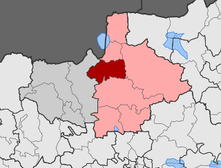
Plagia is a village in the Kilkis region of Greece. It is situated in the municipal unit of Cherso, in the Kilkis municipality, within the Kilkis region of Central Macedonia.

Koromilia is a village in the Kilkis region of Greece. It is situated in the municipal unit of Cherso, in the Kilkis municipality, within the Kilkis region of Central Macedonia.

Plagia is a village in the Kilkis regional unit of Greece. It is situated in the municipal unit of Axioupoli, in the Paionia municipality, within the Kilkis region of Central Macedonia.

Megali Vrysi or Megali Vrisi is a village in the Kilkis region of Greece. It is situated in the municipal unit of Kilkis, in the Kilkis municipality, within the Kilkis region of Central Macedonia.


