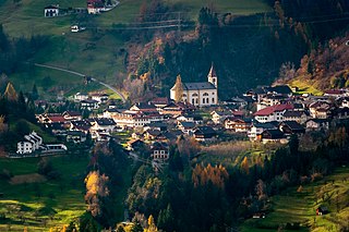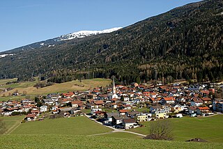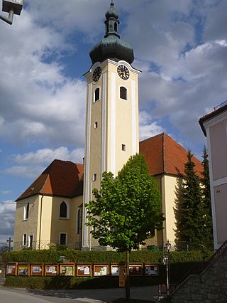
Lienz is a medieval town in the Austrian state of Tyrol. It is the administrative centre of the Lienz district, which covers all of East Tyrol. The municipality also includes the cadastral subdivision of Patriasdorf.

Krimml is a municipality in Zell am See District, in the federal state of Salzburg, Austria, in the Pinzgau region.

Hall in Tirol is a town in the Innsbruck-Land district of Tyrol, Austria. Located at an altitude of 574 m, about 5 km (3 mi) east of the state's capital Innsbruck in the Inn valley, it has a population of 14,771.

Kremsmünster is a town in Kirchdorf an der Krems District, in the Austrian state of Upper Austria. Settled in 777, it is home to the Kremsmünster Abbey.

Wattens is a market town of the Innsbruck-Land District in the Austrian state of Tyrol. It is chiefly known as home of the Swarovski crystal glass company.

Bad Deutsch-Altenburg, until 1928 Deutsch-Altenburg is a market town and spa in the district of Bruck an der Leitha in Lower Austria in Austria.

Gumpoldskirchen is a town in the district of Mödling in the Austrian state of Lower Austria. Gumpoldskirchen borders on the municipalities Mödling, Guntramsdorf, Gaaden, Pfaffstätten and Traiskirchen. The municipal area extends from the flats in the Vienna Basin to forest areas of the Anninger in the Vienna Woods. Gumpoldskirchen is very famous for its wine, especially its Spätrot-Rotgipfler blend, and "Heurigers" as it attracts many tourists from Vienna to its hillside vineyards. Gumpoldskirchen derives its name from Gumpold of Passau.

Uttendorf is a municipality in the district of Zell am See, in the state of Salzburg in Austria.

Jenbach is a municipality in the district of Schwaz in the Austrian state of Tyrol.

Grins is a municipality in the Landeck district in the Austrian state of Tyrol located 3.7 km west of Landeck and 18 km east of Sankt Anton am Arlberg. The village has 10 subdivisions. Settlement of the area already began 2000 years ago because of the sunny climate but the village was mentioned for the first time in documents in 1288 as „Grindes“.

Rinn is a municipality in the district of Innsbruck-Land in the Austrian state of Tyrol located 6 km southeast of Innsbruck. The village was mentioned in documents as “Runne” in 1250 for the first time.

Ehrwald is a municipality in the district of Reutte in the Austrian state of Tyrol.

Häselgehr is a municipality with 686 inhabitants in the district of Reutte in the Austrian state of Tyrol. The municipality is located in the district court Reutte. Since 2010, the community is a member of the Climate Alliance Tyrol.

Sautens is a municipality in the Imst district located 9 kilometres (6 mi) southeast of Imst on the lower course of the Ötztaler Ache. The village is located to catch the sun but is protected from the wind, which makes for an especially mild climate. The main source of income is agriculture. Fruit is especially important with a good part of the harvest used to make Schnapps.

Sankt Leonhard im Pitztal is a municipality in the Imst district, located 20 kilometres (12 mi) south of Imst on the upper course of the Pitze River in western Austria. The village covers a large area and has a length of around 25 kilometres (16 mi). It is one of the biggest communities of Tyrol by area.

St. Veit im Pongau is a market town in the St. Johann im Pongau district in the Austrian state of Salzburg. St. Veit is the first healthy climate spa town in Salzburg. Submontane to the "Hochglocker" there is the 1912 founded sanatorium. Author Thomas Bernhard was treated in there and he also wrote a book about his residence at the clinic.

Großriedenthal is a municipality in the district of Tulln in Lower Austria, Austria. The community consists of 3 districts: Großriedenthal, Ottenthal, and Neudegg. The mild climate and fertile soil allow the region to produce both fruity and full-bodied wines. Grossriedenthal is in the wine district of Lower Austria about 50 km northwest of Vienna which is around one hour by car.

Höchst is a municipality in the district of Bregenz in the Austrian state of Vorarlberg.

Koblach is a municipality in the district of Feldkirch in the Austrian state of Vorarlberg.

Leopoldschlag is a municipality in the district of Freistadt in the Austrian state of Upper Austria. It is located on the European continental divide between the watershed of the Elbe and the Danube, on the border with the Czech Republic.


