Karnei Shomron
| |
|---|---|
| Hebrew transcription(s) | |
| • ISO 259 | Qarnei Šomron |
| • Also spelled | Qarne Shomron (official) |
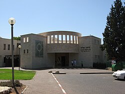 Central Synagogue | |
 Karnei Shomron | |
| Coordinates: 32°10′18″N35°5′52″E / 32.17167°N 35.09778°E | |
| Region | West Bank |
| District | Judea and Samaria Area |
| Founded | 1977 |
| Government | |
| • Head of Municipality | Yehonatan Kuznitz |
| Area | |
• Total | 7,179 dunams (7.179 km2 or 2.772 sq mi) |
| Population (2023) [1] | |
• Total | 10,354 |
| • Density | 1,400/km2 (3,700/sq mi) |
| Website | www.karneishomron.co.il |
Karnei Shomron (Hebrew : קַרְנֵי שׁוֹמְרוֹן, lit. "Rays (of light) of Samaria") is an Israeli settlement organized as a local council established in 1977 in the West Bank, east of Kfar Saba. Karnei Shomron is located 48 kilometres (30 mi) northeast of Tel Aviv and 85 kilometres (53 mi) north of Jerusalem. In 2023 it had a population of 10,354.
Contents
- History and archaeology
- Confiscation of Palestinian land
- Local Council neighborhoods
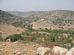
- Nature
- Leadership
- 2002 mall attack
- Notable residents
- References
- External links
The international community considers Israeli settlements in the West Bank illegal under international law, but the Israeli government disputes this. [2]