
Busia District is a district in the Eastern region of Uganda.
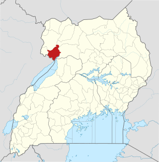
Nebbi District is a district in Northern Uganda. It is named after its main municipal, commercial and administrative centre, Nebbi, the location of the district headquarters.
Kamwenge District is a district in Western Uganda. It is named after its 'chief town', Kamwenge, where the district headquarters are located. Kamwenge District is part of the Kingdom of Toro, one of the ancient traditional monarchies in Uganda. The kingdom is coterminous with Toro sub-region. The districts that constitute the sub-region are: (a) Bunyangabu District (b) Kabarole District (c) Kamwenge District (d) Kyegegwa District (e) Kitagwenda District and (f) Kyenjojo District.

Kasese District is a district in Western Uganda. Like most other Ugandan districts, the town of Kasese is the site of the district headquarters.

Kyenjojo District is a district in the Western Region of Uganda. Kyenjojo town is the site of the district headquarters.
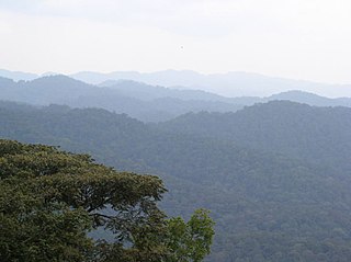
The Albertine Rift montane forests is a tropical moist broadleaf forest ecoregion in east-central Africa. The ecoregion covers the mountains of the northern Albertine Rift, and is home to distinct Afromontane forests with high biodiversity.
Articles related to Uganda include:
The Katonga Wildlife Reserve is a wildlife reserve in western Uganda, along the banks of the Katonga River. The reserve was established in 1998 and has approximately 211 square kilometres (81 sq mi). Many of the species of plants and animals in the reserve are unique to its wetland environment. Additionally the grass species at Katonga Wildlife Reserve include star grass, Bermuda grass and Rhodes grass.
Mpanga Power Station is an 18 megawatts (24,000 hp) mini hydroelectric power project located across River Mpanga, in Kitagwenda County, Kitagwenda District in Western Uganda.

Kyegegwa District is a district in Western Region of Uganda. The town of Kyegegwa hosts the district headquarters.
Mpanga is a location on River Mpanga in Kitagwenda county, Kitagwenda District in Western Uganda.
Bunyangabu District is a district in the Western Region of Uganda. The town of Kibiito is the political and administrative center of the district. However, the town of Rwimi, is the largest and main commercial center of Bunyangabu.

Butebo District is a district in the Eastern Region of Uganda. Like most other Ugandan districts, it is named after its chief town, Butebo, where the district headquarters are located.
Abigaba Cuthbert Mirembe is a Ugandan politician and engineer. He represents Kibale County, Kamwenge District in the parliament of Uganda. He was elected on the ticket of National Resistance Movement in 2017.
Kahunge is a town council in Kamwenge District of the Western Region of Uganda.
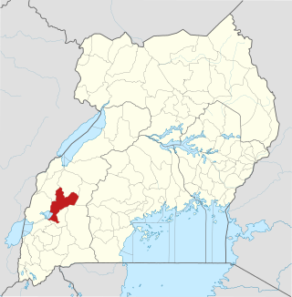
Kitagwenda District is a district in Western Uganda. The district is named after Kitagwenda County, which is coterminous with the district.
Ntara is a settlement in Kitagwenda District, in Western Uganda. It is the political, administrative and commercial headquarters of the district. Ntara is one of the two municipalities in the newly-created Kitagwenda District, the other being Kabujogera Town Council.
Kabujogera is a settlement in Kitagwenda District, in Western Uganda. It is one of the two municipalities in the newly created Kitagwenda District, the other being Ntara Town Council, where the district headquarters are located.
George Turyasingura is an Anglican bishop in Uganda: he has been Bishop of East Rwenzori since 2018.
Kazo is a district in Uganda's Western Region. It is located approximately 200 square kilometres (77 sq mi) west of Uganda's capital Kampala. It covers an area of 1,556 square kilometres (601 sq mi) and recorded a population of 177,054 in the 2014 Ugandan census. The capital of the district is the town of Kazo.

