
North West is a province of South Africa. Its capital is Mahikeng. The province is located to the west of the major population centre and province of Gauteng and south of Botswana.

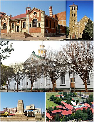
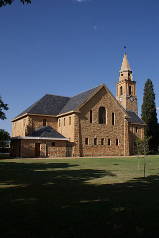
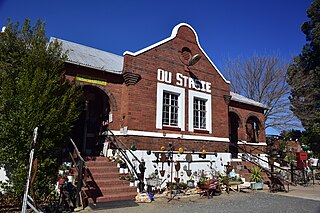
Potchefstroom, colloquially known as Potch, is an academic city in the North West Province of South Africa. It hosts the Potchefstroom Campus of the North-West University. Potchefstroom is on the Mooirivier, roughly 120 km (75 mi) west-southwest of Johannesburg and 45 km (28 mi) east-northeast of Klerksdorp.

Orkney is a gold mining town situated in the Klerksdorp district of the North West province, South Africa. It lies on the banks of the Vaal River approximately 180 km from Johannesburg near the N12.
Boksburg is a city on the East Rand of Gauteng province of South Africa. Gold was discovered in Boksburg in 1887. Boksburg was named after the State Secretary of the South African Republic, W. Eduard Bok. The Main Reef Road linked Boksburg to all the other major mining towns on the Witwatersrand and the Angelo Hotel (1887) was used as a staging post.

Hobhouse is a small farming and homesteading town in the Free State province of South Africa. Maize, wheat, and livestock are produced here.
Bothaville is a maize farming town situated near the Vaal River in the Lejweleputswa DM of the Free State province, South Africa. It is situated 60 km east of the Vaal, on the bank of its Vals River tributary. Bothaville and the adjacent Kgotsong township have a total of approximately 46,000 residents.
Dealesville is a mixed farming town in the Free State province of South Africa and is surrounded by numerous salt pans. There are many natural springs in the vicinity, most notably Florisbad some 35 km from the town.
Bethal is a farming town in Mpumalanga, South Africa. The farms in the region produce maize, sunflower seeds, sorghum, rye and potatoes. The town lies 155 km (96 mi) east of Johannesburg on the N17 national route.
Delmas is a small maize farming town situated east of Johannesburg in Mpumalanga, South Africa. The town is located some 19 km north-east of Springs and 73 km south-east of Pretoria.

Derby is a small town situated in North West Province of South Africa that was named after the British Secretary of State Lord Derby. Derby began as a refuge for destitute people.
Swartruggens is a small farming town in North West Province, South Africa that was established in 1875.

A Volkstaat, also called a Boerestaat, is a proposed White homeland for Afrikaners within the borders of South Africa, most commonly proposed as a fully independent Boer/Afrikaner nation. The proposed state would exclude Afrikaans-speaking Coloureds but accept South Africans of English ancestry and other White South Africans, if they accept Afrikaner culture and customs.

Irchester is a village and civil parish in North Northamptonshire, two miles (3 km) south-east of Wellingborough and two miles south-west of Rushden. The population of the village at the 2011 Census was 5,706 and estimated in 2019 at 5,767. Little Irchester and Knuston also lie in the parish.

James Thomson "JT" Bain was a socialist and syndicalist in colonial South Africa.

Trompsburg is a town in the Free State province of South Africa off the N1 highway, the major road connection between Johannesburg and Cape Town.

Riebeek West is a small town situated about 75 km north-east of Cape Town and 5 km north of its twin town Riebeek Kasteel in the Swartland area of the Western Cape, South Africa.
Rayton is a town in North-Eastern Gauteng which started out as a tin shack mining town on the farm Elandshoek. During its boom days the town served the needs of thousands of diggers and prospectors working for the Schiller, Montrose and Dunmore mining companies. A mini diamond rush sparked by Sir Thomas Cullinan's discovery of a kimberlite diamond pipe nearby is what caused the town to boom.
Oberholzer is a town in West Rand District Municipality in the Gauteng province of South Africa. The town is 85 km south-west of Johannesburg, just north-west of Carletonville.
Balmoral is a town in the Emalahleni Local Municipality in the Mpumalanga province of South Africa. The village was established as a railway station of the Oosterlijn from Pretoria to Maputo in 1894. The village and railway station were erected at the farm Eenzaamheid. For decades the village was nothing more than a railway stop with a primary school for the surrounding farms. During the Second Boer War, the British built a concentration camp near the railway station.


