Lama লামা | |
|---|---|
 Hills in Lama Upazila | |
 | |
| Coordinates: 21°46.5′N92°12′E / 21.7750°N 92.200°E | |
| Country | |
| Division | Chittagong |
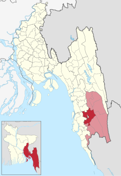
| District | Bandarban |
| Area | |
• Total | 671.83 km2 (259.40 sq mi) |
| Population | |
• Total | 139,689 |
| • Density | 210/km2 (540/sq mi) |
| Time zone | UTC+6 (BST) |
| Postal code | 4640 [2] |
| Website | Official Map of Lama |
Lama (Bengali : লামা) is an upazila of Bandarban District in the Division of Chittagong, Bangladesh. [3]
