Legemeer Legemar | |
|---|---|
Village | |
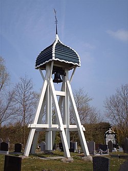 Legemeer bell tower | |
 Location in the former Skarsterlân municipality | |
 Legemeer Location in the Netherlands  Legemeer Legemeer (Netherlands) | |
| Coordinates: 52°56′24″N5°43′43″E / 52.94000°N 5.72861°E | |
| Country | |
| Province | |
| Municipality | |
| Area | |
• Total | 2.97 km2 (1.15 sq mi) |
| Elevation | 0.9 m (3.0 ft) |
| Population (2021) [1] | |
• Total | 40 |
| • Density | 13/km2 (35/sq mi) |
| Postal code | 8527 [1] |
| Dialing code | 0513 |
Legemeer (West Frisian : Legemar) is a village in De Fryske Marren in the province of Friesland, the Netherlands. It had a population of around 40 in 2017. [3]