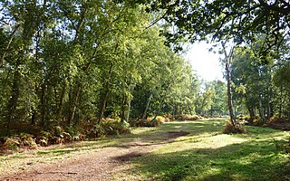
The Great Fen is a habitat restoration project being undertaken on The Fens in the county of Cambridgeshire in England. It is one of the largest restoration projects in the country, and aims to create a 3,700 hectare wetland and aims to connect Woodwalton Fen National Nature Reserve (NNR), Holme Fen NNR and other nature reserves to create a larger site with conservation benefits for wildlife and socio-economic benefits for people.

Purple moor grass and rush pastures is a type of Biodiversity Action Plan habitat in the UK. It occurs on poorly drained neutral and acidic soils of the lowlands and upland fringe. It is found in the South West of England, especially in Devon.

Wangford Warren and Carr is a 67.8-hectare (168-acre) biological Site of Special Scientific Interest between Brandon and Lakenheath in Suffolk. It is a Nature Conservation Review site, Grade I, and part of the Breckland Special Area of Conservation, and Special Protection Area An area of 15 hectares is managed as a nature reserve by the Suffolk Wildlife Trust
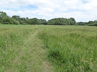
Blo' Norton and Thelnetham Fens are a 21.3-hectare (53-acre) biological Site of Special Scientific Interest (SSSI) on the Norfolk/Suffolk border in England. Blo' Norton Fen is in the parish of Blo' Norton in Norfolk and Thelnetham Fen is in Thelnetham parish in Suffolk. It is a Nature Conservation Review site, Grade 2, and part of the Waveney and Little Ouse Valley Fens Special Area of Conservation, Thelnetham Fen is managed by the Suffolk Wildlife Trust and Blo' Norton Fen by the Little Ouse Headwaters Project (LOHP).
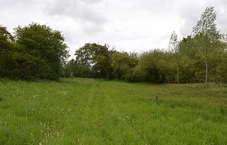
Ashdon Meadows is a 1.5-hectare (3.7-acre) biological Site of Special Scientific Interest south of Ashdon in Essex.

L-Moor, Shepreth is a 6.6-hectare (16-acre) biological Site of Special Scientific Interest in Shepreth in Cambridgeshire. It is managed by the Wildlife Trust for Bedfordshire, Cambridgeshire and Northamptonshire.

Wilbraham Fens is a 62.5-hectare (154-acre) biological Site of Special Scientific Interest east of Cambridge.

Bugg's Hole Fen is a 3.7-hectare (9.1-acre) biological Site of Special Scientific Interest north-west of Thelnetham in Suffolk.

Weston Fen is a 49.7-hectare (123-acre) biological Site of Special Scientific Interest in Hopton in Suffolk. It is part of the Waveney and Little Ouse Valley Fens Special Areas of Conservation, and an area of 37 hectares is managed as a nature reserve called Market Weston Fen by the Suffolk Wildlife Trust.

Leziate, Sugar and Derby Fens is an 87.9-hectare (217-acre) biological Site of Special Scientific Interest east of King's Lynn in Norfolk, England.
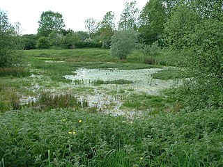
East Walton and Adcock's Common is a 62.4-hectare (154-acre) biological and geological Site of Special Scientific Interest south-east of King's Lynn in Norfolk, England. It is a Geological Conservation Review site and part of Norfolk Valley Fens Special Area of Conservation

Foulden Common is a 139-hectare (340-acre) biological Site of Special Scientific Interest east of Downham Market in Norfolk, England. It is a Nature Conservation Review site, Grade 2, and part of the Norfolk Valley Fens Special Area of Conservation.

Kenninghall and Banham Fens with Quidenham Mere is a 48.4-hectare (120-acre) biological Site of Special Scientific Interest west of Banham, in Norfolk, England.

Swangey Fen, Attleborough is a 48.4-hectare (120-acre) biological Site of Special Scientific Interest south-west of Attleborough in Norfolk, England. It is part of the Norfolk Valley Fens Special Area of Conservation.

Badley Moor is an 18.3-hectare (45-acre) biological Site of Special Scientific Interest east of Dereham in Norfolk, England. It is part of the Norfolk Valley Fens Special Area of Conservation.

Holly Farm Meadow, Wendling is a 2.6-hectare (6.4-acre) biological Site of Special Scientific Interest west of Dereham in Norfolk, England.

Great Cressingham Fen is a 14.3-hectare (35-acre) biological Site of Special Scientific Interest near Great Cressingham in Norfolk, England. It is part of the Norfolk Valley Fens Special Area of Conservation.

Rosie Curston's Meadow is a 2.3-hectare (5.7-acre) biological Site of Special Scientific Interest in Mattishall in Norfolk, England.
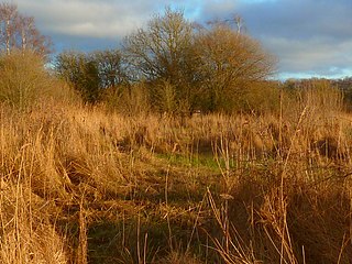
Farnham Mires is a Site of Special Scientific Interest, or SSSI, to the west of the village of Farnham, North Yorkshire, England. It consists of a spring-fed marshy fen or mire with reeds and sedge, and drier calcareous grassland containing a diverse range of flora. It has a history of poaching and fox hunting, but since the late 19th century, the attention of botanists has been drawn to its large variety of flowering plants. It has received some consideration on this account since 1944, and from 1954 it was designated SSSI status. This site has no facilities, and is not open to the public.

Mar Field Fen is a Site of Special Scientific Interest, or SSSI, north of Masham, North Yorkshire, England, in a rural area known as Marfield. It is situated on land containing woodland carr, fen, spring-fed marshy grassland and drier calcareous grassland, between the River Ure to the east and Marfield Wetland nature reserve to the west. As "one of the best examples of fen habitat in the Vale of York," it is a protected habitat for a variety of plants, including the common butterwort, a carnivorous plant. There is no public access to this site.


