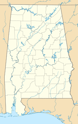
McGhee, Alabama

Last updated

McGhee
USA Alabama location map.svg
Red pog.svg
McGhee
Location in Alabama.
Coordinates: 34°10′04″N85°43′57″W / 34.16778°N 85.73250°W / 34.16778; -85.73250
Country United States
State Alabama
County Cherokee
Elevation
561 ft (171 m)
Time zone UTC-6 (Central (CST))
 • Summer (DST) UTC-5 (CDT)
Area codes 256 & 938
GNIS feature ID122549 [1]

McGhee is an unincorporated community in Cherokee County, Alabama, United States.

History

A post office called McGhee was established in 1897, and remained in operation until it was discontinued in 1903. [2] The community was named for a local family of settlers. [3]

References

  1. ↑ "McGhee". Geographic Names Information System . United States Geological Survey, United States Department of the Interior.
  2. ↑ "Cherokee County". Jim Forte Postal History. Retrieved April 25, 2015.
  3. ↑ "Cherokee County, Ala". Calhoun Times. September 1, 2004. p. 45. Retrieved April 24, 2015.