Mercedes Partido de Mercedes | |
|---|---|
 Coat of arms Logo | |
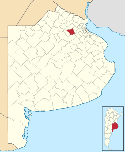 location of Mercedes Partido in Buenos Aires Province | |
| Coordinates: 34°40′S59°26′W / 34.667°S 59.433°W | |
| Country | Argentina |
| Established | June 25, 1752 |
| Seat | Mercedes |
| Government | |
| • Mayor | Carlos Selva (PJ) |
| Area | |
• Total | 1,050 km2 (410 sq mi) |
| Population | |
• Total | 62,151 |
| • Density | 59/km2 (150/sq mi) |
| Demonym | mercedina/o |
| Postal Code | B6600 |
| IFAM | |
| Area Code | 02324 |
| Website | nw.mercedes.gob.ar |
Mercedes Partido is a partido in the eastern part of Buenos Aires Province in Argentina.
Contents
The provincial subdivision has a population of about 62,000 inhabitants in an area of 1,050 km2 (405 sq mi), and its capital city is Mercedes, 100 km (62 mi) from Buenos Aires.