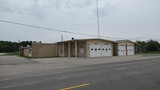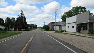
Missaukee County is a county located in the U.S. state of Michigan. As of the 2020 Census, the population was 15,052. The county seat is Lake City.

Allouez Township is a civil township of Keweenaw County in the U.S. state of Michigan. The population was 1,428 at the 2020 census.

Garfield Township is a civil township of Mackinac County in the U.S. state of Michigan. The population was 1,146 at the 2010 census, and 1,166 in 2020.

Butterfield Township is a civil township of Missaukee County in the U.S. state of Michigan. As of the 2020 census, the township population was 473.

Lake Township is a civil township of Roscommon County in the U.S. state of Michigan. The population was 1,119 at the 2020 census.

Prudenville is an unincorporated community and census-designated place (CDP) in Roscommon County in the U.S. state of Michigan. The population was 1,643 at the 2020 census. Prudenville is located within Denton Township.

Newport is an unincorporated community in Monroe County in the U.S. state of Michigan. The community is located within Berlin Charter Township. As an unincorporated community, Newport has no legally defined boundaries or population statistics of its own but does have its own post office with the 48166 ZIP Code.

Boon is an unincorporated community and census-designated place (CDP) in Wexford County in the U.S. state of Michigan. The community is located within Boon Township. The population of the CDP was 90 at the 2020 census.

Topinabee is an unincorporated community in Cheboygan County in the U.S. state of Michigan. The community is located within Mullet Township along the southwestern shores of Mullett Lake.

Pittsford is an unincorporated community and census-designated place (CDP) in Hillsdale County in the U.S. state of Michigan. The population of the CDP was 553 at the 2020 census. The community is located along M-34 on the border between Jefferson Township to the west and Pittsford Township to the east.

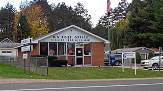
Higgins Lake is an unincorporated community in Roscommon County in the U.S. state of Michigan. The community is located within Lyon Township. As an unincorporated community, Higgins Lake has no legally defined boundaries or population statistics of its own. Higgins Lake has its own post office with the 48627 ZIP Code.

Winn is an unincorporated community and census-designated place (CDP) in Isabella County in the U.S. state of Michigan. The CDP had a population of 166 at the 2020 census. The community is located within Fremont Township.

McMillan is an unincorporated community in Luce County in the U.S. state of Michigan. The community is located along M-28 within Columbus Township. As an unincorporated community, McMillan has no legally defined boundaries or population statistics of its own but does have its own post office with the 49853 ZIP Code.

Ottawa Lake is an unincorporated community in Monroe County in the U.S. state of Michigan. The community is located within Whiteford Township. As an unincorporated community, Ottawa Lake has no legally defined boundaries or population statistics of its own but does have its own post office with the 49267 ZIP Code.

Curran is an unincorporated community in Alcona County in the U.S. state of Michigan. The community is located within Mitchell Township. As an unincorporated community, Curran has no legally defined boundaries or population statistics of its own but does have its own post office with the 48728 ZIP Code.

Luzerne is an unincorporated community in Oscoda County in the U.S. state of Michigan. The community is located within Big Creek Township. As an unincorporated community, Luzerne has no legally defined boundaries or population statistics of its own but does have its own post office with the 48636 ZIP Code.

Lake is an unincorporated community in Clare County in the U.S. state of Michigan. The community is located within Garfield Township. As an unincorporated community, Lake has no legal autonomy of its own but does have its own post office with the 48632 ZIP Code.

Jennings is an unincorporated community and census-designated place (CDP) in Missaukee County in the U.S. state of Michigan. The population was 229 at the 2020 census, down from 264 in 2010. The CDP is located mostly in Lake Township with a small portion extending north into Caldwell Township.

Richland Township is a civil township of Missaukee County in the U.S. state of Michigan. The population was 1,491 at the 2010 census.

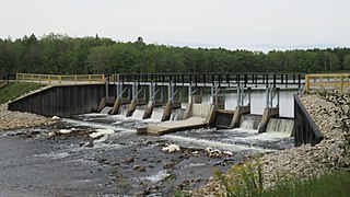
The Reedsburg Dam is a non-hydroelectric barrage dam crossing the Muskegon River in eastern Missaukee County in the U.S. state of Michigan. Located in rural Enterprise Township, the dam was constructed in 1940 by the Civilian Conservation Corps to alleviate flooding from Houghton Lake, which is the source of the Muskegon River approximately 6 miles (9.7 km) upstream.


