
Route 265 is a highway in southwestern Missouri. Its northern terminus is at Interstate 44 in Mount Vernon; its southern terminus is at U.S. Route 65 south of Branson. Much of the highway is concurrent with other routes. It is also known as the Ozark Mountain Parkway.
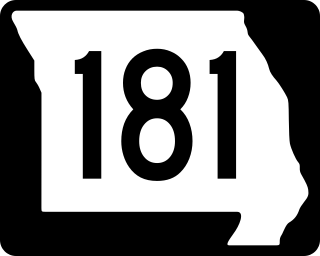
Route 181 is a highway in southern Missouri. Its southern terminus is at US 160 in Gainesville in Ozark County. It passes through eastern Douglas County and reaches its northern terminus at Business U.S. Route 60 in Cabool in Texas County.

Route 83 is a state highway in western Missouri. Its northern terminus is at U.S. Route 65/Route 7 at Warsaw; its southern terminus is at Route 13 in Bolivar. It is a two-lane highway its entire length.

Route 99 is a short highway in southern Missouri. Its northern terminus is at U.S. Route 60 just north of Birch Tree in Shannon County; its southern terminus is at U.S. Route 160 south of Thomasville in Oregon County 18.3 miles (29.5 km) to the SSE. It crosses the Eleven Point River at Thomasville. Just south of Thomasville Route 99 provides access to the west end of the Eleven Point Wild and Scenic River portion of the Mark Twain National Forest.
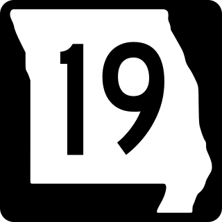
Route 19 is a long state highway in Missouri. Its northern terminus is at U.S. Route 61 in New London and its southern terminus is at U.S. Route 63 on the north side of Thayer. Route 19 is one of Missouri's original 1922 highways, though it initially had a northern terminus at Route 14 in Cuba and was later extended north.
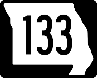
Route 133 is a highway in central Missouri. Its northern terminus is at U.S. Route 63 near Westphalia; its southern terminus is at Interstate 44 about fourteen miles (21 km) west of Waynesville.
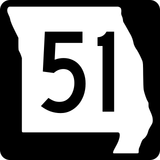
Route 51 is a highway in southeastern Missouri. Its northern terminus is the Illinois state line near Chester, Illinois; its southern terminus is at the Arkansas state line northwest of Piggott, Arkansas. It continues into Illinois as Illinois Route 150 and it continues into Arkansas as Highway 139.
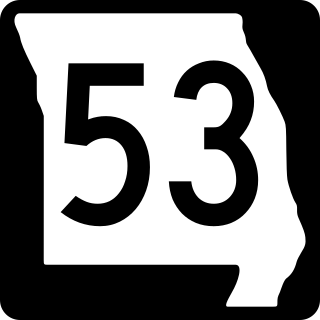
Route 53 is a highway in southeastern Missouri. Its southern terminus is at Route 25 in Holcomb. Its northern terminus is at Business U.S. Route 67 Business in Poplar Bluff.

Route 77 is a highway in southeastern Missouri. Its northern terminus is at Route 25 about four miles (6 km) south of Dutchtown; its southern terminus is at the Mississippi River in southeastern Mississippi County. The Dorena–Hickman Ferry connects the road with Kentucky Route 1354 in Kentucky.
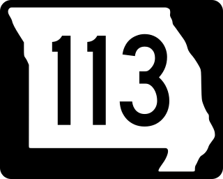
Route 113 is a highway in northwestern Missouri. Its northern terminus is at U.S. Route 136 in Burlington Junction; its southern terminus is at U.S. Route 59 east of Mound City.
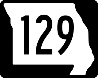
Route 129 is a highway in northern and central Missouri. Its northern terminus is at the Iowa state line where it continues as Appanoose County Road T20; its southern terminus is at Route 3 in Roanoke.
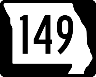
Route 149 is a highway in northern Missouri. Its northern terminus is at the Iowa state line where it continues as Appanoose County Route T30; its southern terminus is at U.S. Route 36 south of New Cambria.

Route 41 is a highway in central Missouri. Its northern terminus is at U.S. Route 24 in southern Carroll County; its southern terminus is at Interstate 70/U.S. Route 40 west of Boonville, where the road continues south as Route 135.

Route 68 is a highway in central and southern Missouri. Its eastern terminus is at Route 19 in Salem; its western terminus is at U.S. Route 63 north of Rolla. Even though it is an even- numbered route, it tends to run more north–south than east–west.

Route 33 is a highway in western Missouri. Its northern terminus is at Route 6 in Maysville; its southern terminus is at U.S. Route 69 in Liberty.
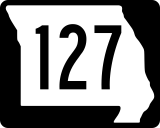
Route 127 is a highway in central Missouri. Its northern terminus is at U.S. Route 65 west of Malta Bend; its southern terminus is at Route 52 southwest of Sedalia.

Route 47 is a highway in eastern Missouri. Its northern terminus is at Route 79 near Winfield; its southern terminus is at U.S. Route 67 in Bonne Terre.

Route 190 is a highway in northern Missouri. Its eastern terminus is at U.S. Route 65 north of Chillicothe; its western terminus is at Route 146 west of Trenton.
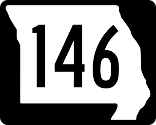
Route 146 is a highway in northern Missouri. Its eastern terminus is at Route 6 west of Trenton; its western terminus is at U.S. Route 136 east of Bethany.

Route 131 is a highway located in Lafayette and Johnson counties in western Missouri. Its northern terminus is at Route 224 in downtown Wellington and its southern terminus is on Route 2 south of Medford.

