Mouton Cove, Louisiana | |
|---|---|
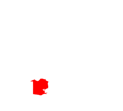
 Mouton Cove, Louisiana  Mouton Cove, Louisiana | |
| Coordinates: 29°52′34″N92°10′29″W / 29.87611°N 92.17472°W | |
| Country | United States |
| State | Louisiana |
| Parish | Vermilion |
| Elevation | 3 ft (0.91 m) |
| Time zone | UTC-6 (Central (CST)) |
| • Summer (DST) | UTC-5 (CDT) |
| Area code | 337 |
| GNIS feature ID | 544249 [1] |
Mouton Cove is an unincorporated community in Vermilion Parish, Louisiana, United States. [1]