| Muppainad | |
|---|---|
| village | |
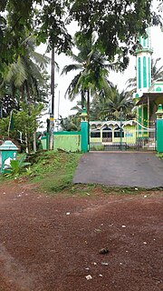
Mooppanad Church | |
| Country | |
| State | Kerala |
| District | Wayanad |
| Population (2001) | |
| • Total | 22,935 |
| Languages | |
| • Official | Malayalam, English |
| Time zone | IST (UTC+5:30) |
| PIN | 6XXXXX |
| Vehicle registration | KL- |

Muppanad is a village near Meppadi in Wayanad district in the state of Kerala, India. [1]

Wayanad is an Indian district in the north-east of Kerala state with headquarters at the municipality of Kalpetta. It is set high on the Western Ghats with altitudes ranging from 700 to 2100. The district was formed on 1 November 1980 as the 12th district in Kerala by carving out areas from Kozhikode and Kannur districts. About 885.92 sq.km of area of the district is under forest. Wayanad has three municipal towns—Kalpetta, Mananthavady and Sulthan Bathery. There are many indigenous tribals in this area.

Kerala is a state on the southwestern, Malabar Coast of India. It was formed on 1 November 1956, following passage of the States Reorganisation Act, by combining Malayalam-speaking regions. Spread over 38,863 km2 (15,005 sq mi), Kerala is the twenty-second largest Indian state by area. It is bordered by Karnataka to the north and northeast, Tamil Nadu to the east and south, and the Lakshadweep Sea and Arabian Sea to the west. With 33,387,677 inhabitants as per the 2011 Census, Kerala is the thirteenth-largest Indian state by population. It is divided into 14 districts with the capital being Thiruvananthapuram. Malayalam is the most widely spoken language and is also the official language of the state.