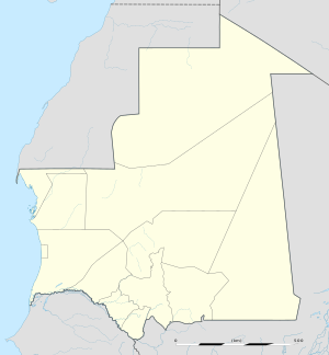
Aere Mbar is a town and commune in the Brakna Region of south-western Mauritania. It is located near the border with Senegal.
Ain Ehel Taya is a town and commune in the Adrar Region of Mauritania. Its current mayor is Mohamed Ely Cheinoune.
Arr is a town and commune in the Guidimaka Region of south-eastern Mauritania.

Bareina is a Bedouin village and rural commune in the Trarza Region of south-western Mauritania.
Ould Birem is a village and rural commune in the Brakna Region of southern Mauritania.
Magta Lahjar is a town and commune in the Brakna Region of southern Mauritania.
Mbagne is a town and commune in the Brakna Region of southern Mauritania on the border with Senegal. Mbagne has a high unemployment rate and an unstable agriculture system, according to the OECD.
Mabrouk or El Mabrouk is a village and rural commune in the Hodh Ech Chargui Region of south-eastern Mauritania.
Beneamane or Benamane is a village and rural commune in the Hodh Ech Chargui Region of south-eastern Mauritania.
Jreif is a village and rural commune in the Hodh Ech Chargui Region of south-eastern Mauritania.
Ajoueir is a village and rural commune in the Trarza Region of south-western Mauritania.
Nteichitt or N' Teichet is a village and rural commune in the Trarza Region of south-western Mauritania.
Keur-Macene or Keurmacen is a town and urban commune in the Trarza Region of south-western Mauritania, located on the border with Senegal.
Mbalal or M'Balel is a town and urban commune in the Trarza Region of south-western Mauritania.
Taguilalett or Taguilalet is a village and rural commune in the Trarza Region of south-western Mauritania.
Ouad Naga is a town and urban commune in the Trarza Region of south-western Mauritania.
Aouleiguatt is a village and rural commune in the Trarza Region of south-western Mauritania.
R' Kiz or Rkiz is a town and urban commune in the Trarza Region of south-western Mauritania.
Lexeiba or Lexelba is a town and urban commune in the Gorgol valley Region of southern Mauritania.
Tékane is a town and urban commune in the Trarza Region of southern Mauritania, near the border of Senegal. It is located east of Rosso.

