
Dulwich is an area in south London, England. The settlement is mostly in the London Borough of Southwark, with parts in the London Borough of Lambeth, and consists of Dulwich Village, East Dulwich, West Dulwich, and the Southwark half of Herne Hill. Dulwich lies in a valley between the neighbouring districts of Camberwell, Crystal Palace, Denmark Hill, Forest Hill, Peckham, Sydenham Hill, and Tulse Hill.

Mitcham is an area within the London Borough of Merton in Southwest London, England. It is centred 7.2 miles (11.6 km) southwest of Charing Cross. Originally a village in the county of Surrey, today it is mainly a residential suburb, and includes Mitcham Common. It has been a settlement throughout recorded history.

Chesterfield is a market and industrial town in the county of Derbyshire, England. It is 24 miles (39 km) north of Derby and 11 miles (18 km) south of Sheffield at the confluence of the Rivers Rother and Hipper. In 2011, the built-up-area subdivision had a population of 88,483, making it the second-largest settlement in Derbyshire, after Derby. The wider Borough of Chesterfield had a population of 103,569 in the 2021 Census. In 2021, the town itself had a population of 76,402.

Clay Cross is a town and a civil parish in the North East Derbyshire district of Derbyshire, England. It is a former industrial and mining town, about 5 miles (8.0 km) south of Chesterfield. It is directly on the A61. Surrounding settlements include North Wingfield, Tupton, Pilsley and Ashover.

Polmont is a village in the Falkirk council area of Central Scotland. It lies towards the east of the town of Falkirk, north of the Union Canal, which runs adjacent to the village.

Mossley Hill is a suburb of Liverpool and ward of Liverpool City Council. Located 3.5 miles southeast of the city centre, it is bordered by the suburbs of Aigburth, Allerton, Childwall, Garston, and Wavertree. At the 2001 Census, the population was 12,650, increasing to 13,816 at the 2011 Census.

Chesterfield is a constituency represented in the House of Commons of the UK Parliament since 2010 by Toby Perkins of the Labour Party.

North East Derbyshire is a constituency created in 1885 represented in the House of Commons of the UK Parliament since 2024 by Louise Jones of the Labour Party.

Orsett is a village, former civil parish and ecclesiastical parish located within Thurrock unitary district in Essex, England, it is north-east of Grays. In 2011 the ward had a population of 6,115.

Newbold is a village north of Chesterfield, Derbyshire, England, which in 2001 had a population of just under 8,000.
Old Whittington is a village in the Borough of Chesterfield in Derbyshire, England. Old Whittington is 2 miles (3.2 km) north of Chesterfield and 10 miles (16 km) south-east of Sheffield. The population of the Old Whittington ward at the 2011 Census was 4,181. The village lies on the River Rother.
Hawcoat is an area and former electoral ward of Barrow-in-Furness, Cumbria, England. Historically part of Lancashire, it is one of Barrow's most northerly wards and is bordered by Roose, Newbarns, Parkside, Ormsgill and the town of Dalton-in-Furness to the north.
Whittington railway station is a former railway station on the southern edge of New Whittington, Derbyshire, England.

SMH Group Stadium is an all-seater football stadium in Whittington Moor, Chesterfield, Derbyshire, on the site of the former Dema Glassworks. It is the home of Chesterfield F.C., replacing the Saltergate Recreation Ground as the club's stadium from the start of the 2010–11 season.
Barrow Hill and New Whittington is one of the nineteen wards that make up the borough of Chesterfield, Derbyshire. The population of the ward was 5,541 at the 2021 Census.

Barrow Hill is a village in Derbyshire, England, north-east of Chesterfield in the civil parish of Staveley. It was formerly the site of Barrow Hill railway station, and now Barrow Hill Engine Shed.

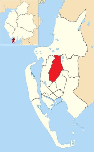
The Borough of Chesterfield is a non-metropolitan district with borough status in Derbyshire, England. It is named after the town of Chesterfield, its largest settlement, and also contains the town of Staveley and the large village of Brimington. In 2022 it had a population of 104,110.

Brampton is a civil parish in North East Derbyshire, England, with a population of 1,201 in 2011. Lying 130 miles (210 km) north west of London, 20 miles (32 km) north of Derby, and 2 miles (3.2 km) west of the market town of Chesterfield, Brampton encompasses part of the Peak District national park to the west, and shares a border with the Borough of Chesterfield, Barlow, Baslow and Bubnell, Beeley, and Holymoorside and Walton. The parish contains a number of settlements including the village it was named after, but does not include the nearby built-up suburb of Brampton which is now within the Chesterfield unparished area.

