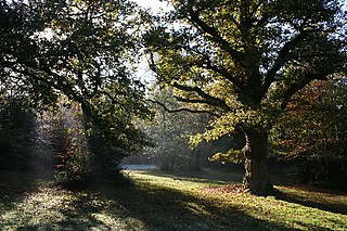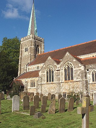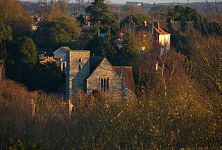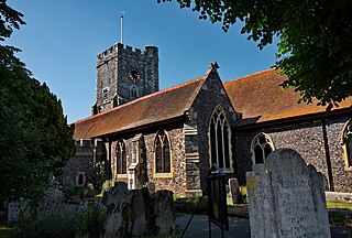
Totteridge is a residential area and former village in the London Borough of Barnet, England. It is a mixture of suburban development and open land situated 8 miles (13 km) north north-west of Charing Cross. It is part of the Whetstone postal district (N20).

Southcourt is a housing estate in Aylesbury, Buckinghamshire, England. Building commenced in the early 1920s through to the mid-1930s and only stopped because of the Second World War. It was turned into a post war housing estate during the years of 1946 and 1955. The area is named after the pig farm over which the housing estate was built.

Bedgrove is one of the housing estates of the modern town of Aylesbury in Buckinghamshire, though it takes its name from a farm and hamlet that stood in the area until the area was cleared for building in the late 1950s. At the time it was built it was the largest housing estate of its kind in the country. The housing estate is on the south side of the town. The farm was where Pevensey Close now stands.

Great Missenden is an affluent village and civil parish in the Misbourne Valley in the Chiltern Hills in Buckinghamshire, England, situated between the towns of Amersham and Wendover. It adjoins the village of Little Kingshill, and is a mile from Little Missenden and the village of Prestwood.

Farnham Royal is a village and civil parish within Buckinghamshire, England. It is in the south of the county, immediately north of Slough, and around 22 miles west of Charing Cross, Central London. Within the parish boundary is the village of Farnham Common and the hamlet of Farnham Park.

Seer Green is a village and civil parish in Buckinghamshire, England. It is in the Chiltern Hills, 1.8 miles (2.9 km) east-north-east of Beaconsfield and 1.8 miles (2.9 km) south-west of Chalfont St Giles.

Taplow is a village and civil parish in the Unitary Authority of Buckinghamshire, England. It sits on the left bank of the River Thames, facing Maidenhead in the neighbouring county of Berkshire, with Cippenham and Burnham to the east. It is the south-westernmost settlement in Buckinghamshire.

Ightham is a parish and village in Kent, England, located approximately four miles east of Sevenoaks and six miles north of Tonbridge. The parish includes the hamlet of Ivy Hatch.

Charing is a village and civil parish in the Ashford district of Kent, in south-east England. It includes the settlements of Charing Heath and Westwell Leacon. It is located at the foot of the North Downs and reaches up to the escarpment. In 2011 the parish had a population of 2766.

Biddenden is a large, mostly agricultural and wooded village and civil parish in the borough of Ashford in Kent, England. The village lies on the Weald of Kent, some 5 miles (8 km) north of Tenterden. It was a centre for the Wealden iron industry and also of clothmaking.

Borden is a village and electoral ward situated immediately south west of Sittingbourne, Kent, from which it is separated by a small area of rural land.

Harbledown is a village in Kent, England, immediately west of Canterbury and contiguous with the city. At local government level the village is designated as a separate civil parish, that of Harbledown and Rough Common. The High Street is a conservation area with many listed buildings, including a tall and intact Georgian terrace on the south side. The area includes several orchards for fruit on its outskirts, within the parish boundaries.

Southchurch is a suburb and former civil parish in Southend-on-Sea in the ceremonial county of Essex, England. England. In 2011 the ward had a population of 9,710.
Godinton is a suburb of Ashford, Kent in England, with its stately home Godinton House within its outskirts.
Stanhope is a civil parish and suburb of Ashford in the Borough of Ashford in Kent, England. It was built in the 1960s on the southern edge of the town.

Wye with Hinxhill is a hillside civil parish in the borough of Ashford northeast of Ashford, Kent itself, centred 3.7 miles NNE of the town centre. The North Downs range of hills has a high escarpment on the east and west borders of the village, flanking a gap caused by the River Great Stour in the centre of the parish.
Park is a local government ward within Tunbridge Wells borough in Kent, England. It is made up of the Camden Park estate, the formerly separate village of Hawkenbury containing a regional Land Registry, Dunorlan Park and the Forest Road area, off which can be found the Tunbridge Wells Cemetery & Crematorium and Nevill Golf Club.

St Peter's is an area of Broadstairs, in the civil parish of Broadstairs and St Peter's, on the Isle of Thanet, in Kent, England. Historically a village, it was outgrown by the long-dominant settlement of the two, Broadstairs, after 1841. Originally the borough or manor of the church of St. Peter-in-Thanet, it was said to be the largest parish east of London, at least until Broadstairs became a separate parish on 27 September 1850. The two settlements were formally merged administratively in 1895.

Westbrook is a Victorian seaside resort on the Thanet peninsula in the southeast corner of England. It is the westernmost part of Margate and is part of the ribbon development of the north Kent coast. Westgate-on-Sea lies to the west.

Garlinge is a village and suburb of Margate, in the Thanet district, in Kent, England, situated 2 miles (3.2 km) southwest of the centre of the town.


