Noklak district | |
|---|---|
 | |
| Nickname: The Frontier District | |
 Noklak District in Nagaland | |
| Country | |
| State | |
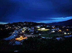
| Headquarters | Noklak |
| Government | |
| • Lok Sabha Constituency | Nagaland |
| • MP [1] | Tokheho Yepthomi, NDPP |
| • Deputy Commissioner [2] | Hiazu Meru (NCS) |
| • Assembly constituencies | 3 constituencies |
| Area | |
• Total | 1,152 km2 (445 sq mi) |
| Population (2011) [6] | |
• Total | 59,300 |
| • Density | 51/km2 (130/sq mi) |
| Time zone | UTC+05:30 (IST) |
| Website | noklak |
Noklak district is the 12th district of the Indian state of Nagaland. It was established on January 20, 2021. Noklak, the eponymous town, is the headquarters of the district. [5]