Passau is a Landkreis (district) in the southeast of Bavaria, Germany. It encloses the city of Passau geographically from two sides. Neighboring districts are Rottal-Inn, Deggendorf, Freyung-Grafenau. To the south it borders Austria.
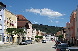
Aldersbach is a municipality in the district of Passau in Bavaria in Germany. The former Cistercian Aldersbach Abbey, of which the Baroque church remains, is located in the village. There is also a brewery with museum. Aldersbach has around 4,500 inhabitants.

Zenting is a municipality in the district of Freyung-Grafenau in Bavaria in Germany.

Aicha vorm Wald is a municipality in the district of Passau in Bavaria in Germany.

Bad Griesbach im Rottal, or just Bad Griesbach, is a town in the district of Passau in Bavaria in Germany.

Neuburg am Inn is a municipality in the district of Passau in Bavaria in Germany.

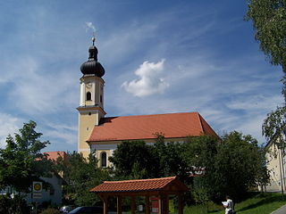
Aidenbach is a municipality in the district of Passau in Bavaria in Germany.

Tiefenbach is a municipality in the district of Passau in Bavaria in Germany.
Kollnburg is a municipality in the district of Regen, in Bavaria, Germany. A part of the municipal area, including the parish village of the same name, is a state-approved resort.
Pfatter is a municipality in the district of Regensburg in Bavaria, Germany. It lies on the river Danube. The Danube village used to be a central place in the Gäuboden and had a central function in its region.

Mitterfels is a municipality in the district of Straubing-Bogen in Bavaria, Germany. It is the head of the Verwaltungsgemeinschaft Mitterfels.

Hofkirchen is a municipality in the district of Passau in Bavaria in Germany.

Ortenburg is a municipality and old market town in the district of Passau in Bavaria in Germany.

Tittling is a municipality in the district of Passau in Bavaria in Germany.

Untergriesbach is a municipality in the district of Passau in Bavaria in Germany.

Windorf is a municipality in the district of Passau in Bavaria in Germany.
Irlbach is a municipality in the district of Straubing-Bogen in Bavaria, Germany. It lies on the Danube River.

Neukirchen is a municipality in the district of Straubing-Bogen in Bavaria, Germany. It is located in the Donau-Wald region in the Bavarian Forest.
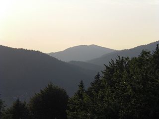
The Anterior Bavarian Forest, also variously called the Vorderer Forest, Vorderer Wald or Danube Hills, is part of the Bavarian Forest, a low mountain range in Germany.

The Buchberger Leite is a gorge near Hohenau in the Lower Bavarian county of Freyung-Grafenau in Bavaria.