This article relies largely or entirely on a single source .(March 2021) |
Obokun | |
|---|---|
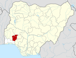
 Obokun Location in Nigeria | |
| Coordinates: 7°47′N4°46′E / 7.783°N 4.767°E | |
| Country | |
| State | |
| Government | |
| • Local Government Chairman | Olatunde Adejoke |
| Area | |
• Total | 527 km2 (203 sq mi) |
| Population (2019) | |
• Total | 144,980 |
| • Density | 280/km2 (710/sq mi) |
| Religion | |
| Time zone | UTC+1 (WAT) |
| 3-digit postal code prefix | 233 |
| ISO 3166 code | NG.OS.OB |
 | |
Obokun is a Local Government Area in Osun State. Its headquarters is at Ibokun.
Contents
It has an area of 527 km2. The population is 116,511 at the 2006 census and it is 144,980 on 2019.
The postal code of the area is 233. [1]
It is known for its divergence and it mainly an Ijesha land. 97% of Ijesha people occupy the Local Government. Its largest town is Ibokun, which is the Local Government Headquarters. Other towns are Adaowode, Ipetu-Ile, Otan-Ile, Imesi-ile, Esa-Oke, Esa-Odo, Ilase, Iponda, Ikinyinwa, Idominasi and Ora and others.