
Alaska is a U.S. state on the northwest extremity of North America. A semi-exclave of the U.S., it borders British Columbia and Yukon in Canada to the east, and it shares a western maritime border in the Bering Strait with the Russian Federation's Chukotka Autonomous Okrug. To the north are the Chukchi and Beaufort Seas of the Arctic Ocean, and the Pacific Ocean lies to the south and southwest.
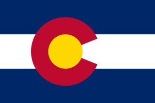
Colorado is a state in the Mountain West sub-region of the Western United States. It encompasses most of the Southern Rocky Mountains, as well as the northeastern portion of the Colorado Plateau and the western edge of the Great Plains. Colorado is the eighth most extensive and 21st most populous U.S. state. The United States Census Bureau estimated the population of Colorado at 5,839,926 as of July 1, 2022, a 1.15% increase since the 2020 United States census.

California is a state in the Western United States, located along the Pacific Coast. With nearly 39.2 million residents across a total area of approximately 163,696 square miles (423,970 km2), it is the most populous U.S. state and the third-largest by area. It is also the most populated subnational entity in North America and the 34th most populous in the world. The Greater Los Angeles and San Francisco Bay areas are the nation's second and fifth most populous urban regions respectively, with the former having more than 18.7 million residents and the latter having over 9.6 million. Sacramento is the state's capital, while Los Angeles is the most populous city in the state and the second most populous city in the country. San Francisco is the second most densely populated major city in the country. Los Angeles County is the country's most populous, while San Bernardino County is the largest county by area in the country. California borders Oregon to the north, Nevada and Arizona to the east, the Mexican state of Baja California to the south; and it has a coastline along the Pacific Ocean to the west.

Illinois is a state in the Midwestern United States. It borders Wisconsin to its north, Iowa to its northwest, Missouri to its southwest, Kentucky to its south, Indiana to its east, and has a water border with Michigan to the northeast in Lake Michigan. Its largest metropolitan areas include the Chicago metropolitan area, and the Metro East section, of Greater St. Louis. Other metropolitan areas include Peoria and Rockford, as well as Springfield, its capital. Of the fifty U.S. states, Illinois has the fifth-largest gross domestic product (GDP), the sixth-largest population, and the 25th-largest land area.

Maryland is a state in the Mid-Atlantic region of the United States. It borders Virginia, West Virginia, and Washington, D.C., to its south and west; Pennsylvania to its north; and Delaware and the Atlantic Ocean to its east. With a total land area of 12,407 square miles (32,130 km2), Maryland is the eighth-smallest state by land area, but its population of 6,177,224 ranks it the 18th-most populous state and the fifth-most densely populated. Baltimore is the largest city in the state, and the capital is Annapolis. The western portion of the state contains numerous stretches of the Appalachian Mountains, while the central portion is primarily composed of the Piedmont. The eastern side of the state makes up the Chesapeake Bay, sharing the border with Delaware, and the southeastern side borders the Atlantic Ocean. Among its occasional nicknames are Old Line State, the Free State, and the Chesapeake Bay State. It is named after Henrietta Maria, the French-born queen of England, Scotland, and Ireland, who was known then in England as Mary.

Michigan is a state in the Great Lakes region of the upper Midwestern United States. It has land borders with Wisconsin to the southwest, and Indiana and Ohio to the south, and Lakes Superior, Michigan, Huron, and Erie also connect it to the states of Minnesota and Illinois, and the Canadian province of Ontario. With a population of nearly 10.12 million and an area of nearly 97,000 sq mi (250,000 km2), Michigan is the 10th-largest state by population, the 11th-largest by area, and the largest by area east of the Mississippi River. Its capital is Lansing, and its largest city is Detroit. Metro Detroit is among the nation's most populous and largest metropolitan economies. Its name derives from a gallicized variant of the original Ojibwe word ᒥᓯᑲᒥ, meaning "large water" or "large lake".

Maharashtra is a state in the western peninsular region of India occupying a substantial portion of the Deccan Plateau. It is bordered by the Arabian Sea to the west, the Indian states of Karnataka and Goa to the south, Telangana to the southeast and Chhattisgarh to the east, Gujarat and Madhya Pradesh to the north, and the Indian union territory of Dadra and Nagar Haveli and Daman and Diu to the northwest. The state is the second-most populous state in India and the second-most populous country subdivision globally.
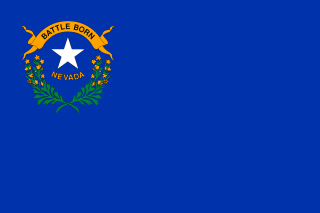
Nevada is a state in the Western region of the United States. It is bordered by Oregon to the northwest, Idaho to the northeast, California to the west, Arizona to the southeast, and Utah to the east. Nevada is the 7th-most extensive, the 32nd-most populous, and the 9th-least densely populated of the U.S. states. Nearly three-quarters of Nevada's people live in Clark County, which contains the Las Vegas–Paradise metropolitan area, including three of the state's four largest incorporated cities. Nevada's capital is Carson City. Las Vegas is the largest city in the state.
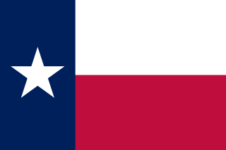
Texas is a state in the South Central region of the United States. At 268,596 square miles (695,660 km2), and with more than 30 million residents in 2023, it is the second-largest U.S. state by both area and population. Texas shares borders with the states of Louisiana to the east, Arkansas to the northeast, Oklahoma to the north, New Mexico to the west, and the Mexican states of Chihuahua, Coahuila, Nuevo León, and Tamaulipas to the south and southwest; and has a coastline with the Gulf of Mexico to the southeast.

Arunachal Pradesh is a state in Northeastern India. It was formed from the erstwhile North-East Frontier Agency (NEFA) region, and became a state on 20 February 1987. Itanagar is the state capital and its largest town.

Palestine, officially the State of Palestine, is a state located in the Southern Levant region of Western Asia. Officially governed by the Palestine Liberation Organization (PLO), it claims the West Bank and the Gaza Strip as its territory, though the entirety of that territory has been under Israeli occupation since the 1967 Six-Day War. As a result of the Oslo Accords of 1993–1995, the West Bank is currently divided into 165 Palestinian enclaves that are under partial Palestinian National Authority (PNA) rule; the remainder, including 200 Israeli settlements, is under full Israeli control. The Gaza Strip has been ruled by the militant Islamic group Hamas and has been subject to a long-term blockade by Egypt and Israel since 2007.
New York most commonly refers to:

New York, often called New York State, is a state in the Northeastern United States. With almost 19.7 million residents, it is the fourth-most populous state in the United States as of 2022. New York is the 27th-largest U.S. state by area, with a total area of 54,556 square miles (141,300 km2). The state is bordered by New Jersey and Pennsylvania to its south, and Connecticut, Massachusetts, and Vermont to its east; it shares a maritime border with Rhode Island, and an international border with the Canadian provinces of Quebec to its north and Ontario to its northwest.
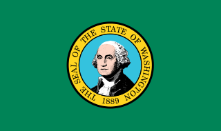
Washington, officially the State of Washington and often referred to as Washington state to distinguish it from the national capital, Washington, D.C., is a state in the Pacific Northwest region of the Western United States. Named for George Washington—the first U.S. president—the state was formed from the western part of the Washington Territory, which was ceded by the British Empire in 1846, by the Oregon Treaty in the settlement of the Oregon boundary dispute. The state is bordered on the west by the Pacific Ocean, Oregon to the south, Idaho to the east, and the Canadian province of British Columbia to the north. It was admitted to the Union as the 42nd state in 1889. Olympia is the state capital; the state's largest city is Seattle.
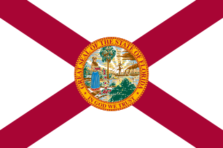
Florida is a state in the Southeastern region of the United States, bordered to the west by the Gulf of Mexico; Alabama to the northwest; Georgia to the north; the Bahamas and Atlantic Ocean to the east; and the Straits of Florida and Cuba to the south. It is the only state that borders both the Gulf of Mexico and the Atlantic Ocean. With a population exceeding 21 million, it is the third-most populous state in the nation and ranks 8th in population density as of 2020. It spans 65,758 square miles (170,310 km2), ranking 22nd in area among the 50 states. The Miami metropolitan area, anchored by the cities of Miami, Fort Lauderdale, and West Palm Beach, is the state's largest metropolitan area with a population of 6.138 million, and the state's most-populous city is Jacksonville with a population of 949,611. Florida's other major population centers include Tampa Bay, Orlando, Cape Coral, and the state capital of Tallahassee.

Arizona is a state in the Southwestern United States. It is the 6th-largest and the 14th-most-populous of the 50 states. Its capital and largest city is Phoenix. Arizona is part of the Four Corners region with Utah to the north, Colorado to the northeast, and New Mexico to the east; its other neighboring states are Nevada to the northwest, California to the west and the Mexican states of Sonora and Baja California to the south and southwest.


